Sunday, October 15, 2017

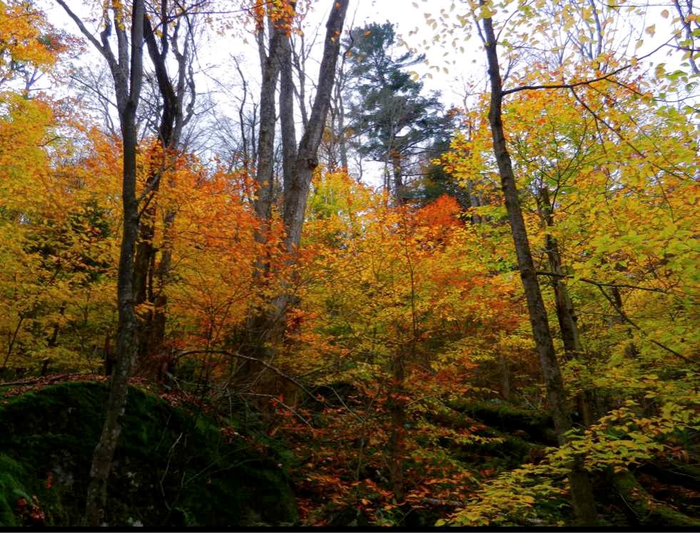
I did not feel like doing much driving today, as it's been a week of several trips.  I went back to McLean to run the 6.2-mile route I had completed October 8th,

I had described these trails as wonderful soft, pine needle covered paths last time, and indeed they are.  I was going to cut 0.2-miles off the run, to make it a 10k.  I ran fairly hard, as I felt good.  I ended up completing the loop in 1:03:00, which made me feel like I'm making progress.  Last time I was about ten-minutes longer.

Wayback Machine to this day in 2002...  time spent at Windsor Jambs, the Windsor Bush Cemetery, Carter/Burnett Cemetery, and Burnett Pond. 
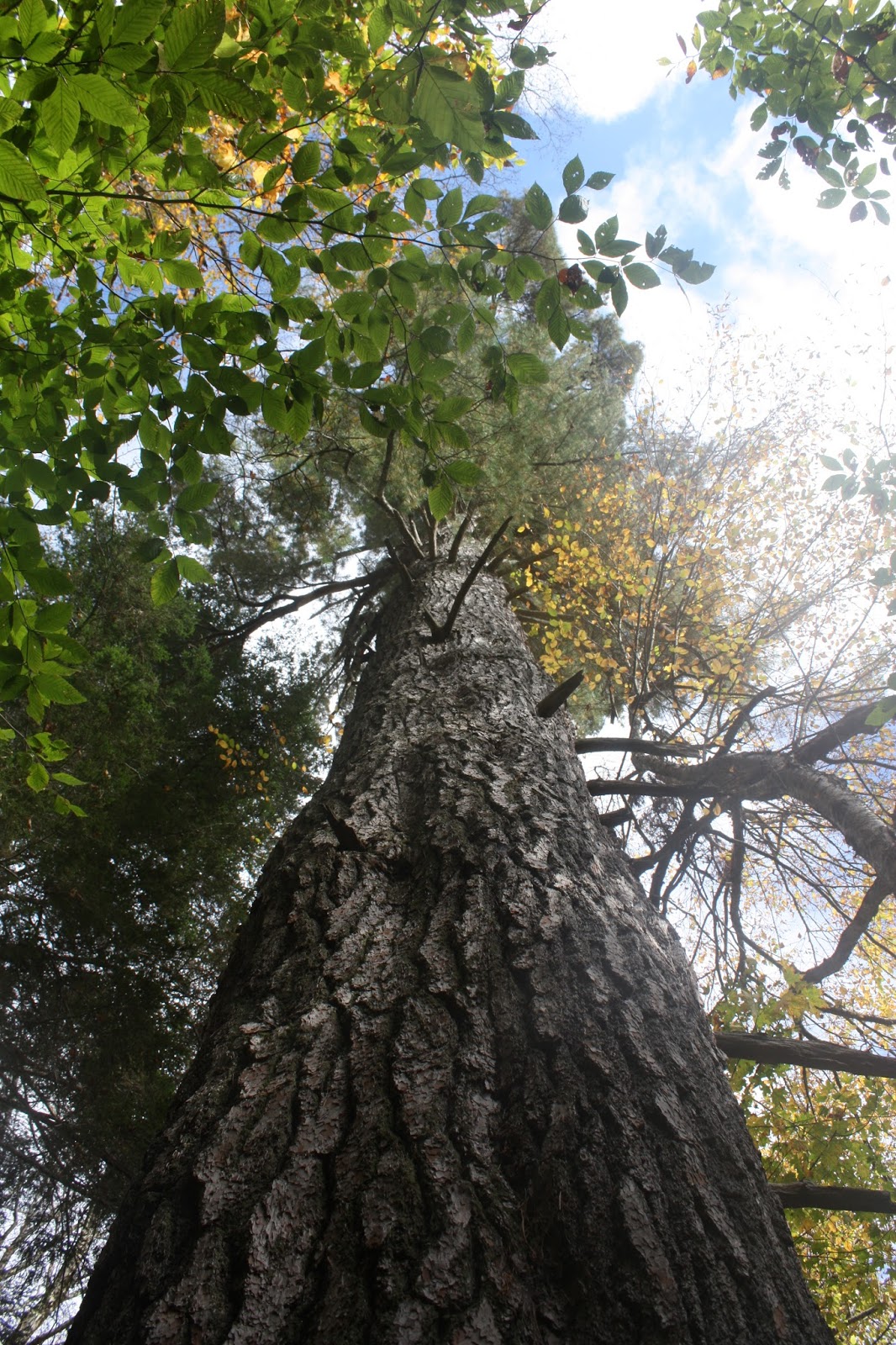
Windsor Jambs
Windsor Jambs
Windsor Bush Cemetery
Carter Burying Ground, Savoy
Outfall of Burnett Pond
Burnett Pond in Autumn, fifteen years ago today


Saturday, October 14, 2017

Today begins Master Naturalists Level II training at Goodwin State Forest.  I truly enjoyed Level I training back in 2015, and I've been looking forward to participating in the advanced course.

After class was completed, I took a run through some of the trails Goodwin offers.  Ended up with 5.7-miles feeling pretty good.

Start along the Natchaug Trail
Pine Acres Lake

On my ride home on Route 6, I observed three roadside memorials, which I stopped at to pay respect and photograph.


Old News...

On this day in 1995 I completed the 2nd Hartford Marathon in 3:42:02.  This was my 7th completed marathon.

Friday, October 13, 2017

Visited old friend Tim Z for a hike in Monroe State Forest, with a goal of locating the Sigurd, Grandfather and Thoreau Pines.  We bushwhacked a bit to check on some potential old growth that Tim had on his mind, before heading back down to the Dunbar Brook Trail.  Stayed on the trail until it splits, and then made our way up the north-facing side hill toward the three big pines.

First up was the Sigurd Olson Pine, Measured in 2011 at 12.3 feet around at chest height, and a full 130 feet tall.

Photo of Sigurd Olson  Pine with our friend Bob L (from Bob's Archives)

Heading further up-hill, we next took in the Thoreau Pine.  This is an incredible tree, measuring an impressive 13.3 feet around at chest height, and a height of 160.1 feet.

Seeing Thoreau from the Olson Pine (from Bob's Archives)
 Looking up to Thoreau's top (from Bob's Archives)
 Bob at Thoreau's base (from Bob's Archives)

It isn't far from Thoreau to the Grandfather Pine.  Grandfather measures in at a breast-height girth of 14.2 feet, with a height of 146.5 feet.

Old Growth Wizard Bob L at the Grandfather Pine (from Bob's Archives)

The following are additional photograph's from our trip today.


After our hike to the pines, I decided to drive up Kingsley Hill Road to check snowmobile trail crossings, and hopefully explore from the trail-head at the top of the Dunbar Brook toward a destination of "the Titanic.  The "Titanic Rock" is a 30' high boulder that leans against a second 20' high boulder creating a passage or cave that can be walked through.  The "Titanic" may be the largest glacial erratic in western Massachusetts.


Completed the day with a stop to visit my parents, which was fantastic as always.

 
Old News...  On this day, October 13th, 2012, Wuzzam and I ran the Conway Covered Bridge Marathon in 6:33:15.  This was my 48th completed marathon.  

Thursday, October 12, 2017

Back on September 9th I explored a bit of the Robert Frost Trail, over Bull Hill.  I ended up jumping off the Frost to loop back toward my car, figuring I'd leave the rest of the trail through Mount Toby for another day.  Today was that day.

I parked at the Ranger Station on Reservation Road, which is ideal for grabbing onto the Robert Frost Trail as it is very nearby.  The first mile and half climbed to Mt Toby Fire Tower, with half of that distance being nice wooded trail and wide-path and the other half being a grind up a power line (which wasn't all that bad on this cool day).  I remember doing this section with Keen-Eye one November with about 6" of snow on the ground, but that is a story for another day.

Tower was as I remember it from the Mt Toby Trail Race, which is coming up this weekend I believe.  I used the Frost By-Pass on my way out to get to my "end-point" from the prior run.  Grabbed the Robert Frost proper for the return, which included the spur to Roaring Mountain.

Once on the jeep road, I took many of the side trails back and forth to the bottom and my car.  Each of the trails was nice and memorable, including the Upper Link, Telephone, and Hemlock Trails.  The Upper Link and Hemlock really stood out and impressed me.  Ended the day with 7.3-miles of incredibly cool (temperature) running.

It may be ten or twelve years since I raced at Toby, so it was really neat to re-visit some of the sections used during the event.  I made my intended connection to my prior run here, and I now have a complete track of the Robert Frost Trail through Mt Toby State Reservation.  I also learned that there is an impressive cave in the forest, with a trail leading close to it.  And...  a couple potential waterfalls as well.  I'll be back.

Mount Toby Fire Tower
Top of Roaring Mountain
Remains of an old chimney
Cranberry Pond

Wednesday, October 11, 2017

Life...

Loaded up a huge rental van to bring JC and his belongings to Albany/Rensselaer Rail Station, for his relocation to Chicago.  I am proud of this young man for taking this opportunity and it's challenges.

Monroe / Dunbar Brook Part II


Continuing from Tuesday's adventure, I wanted to share some of the natural features that Monroe offers along the nature trails.  Today will focus on Spruce Mountain, Dunbar Brook, Large White Pine, and the many large boulders found along the way.

View from Spruce Mountain just off the Spruce Mountain Trail
View off the bridge on Raycroft Road of Dunbar Brook (looking upstream)
Downstream from the Bridge on Raycroft Road (natural bridge & potholes)
Blue Dot Boulder just off the Dunbar Brook Trail
Once more, the Blue Dot Boulder just off the Dunbar Brook Trail
Sharp Turn Boulder directly on the Dunbar Brook Trail
 Large White Pine a bit north of the Dunbar Brook Crossing
Large White Pine along the Dunbar Brook Trail