Beginnings of a trail monitoring project along the Mohawk Mahican Trail for Timmy Z at DCR.
Date: October 24, 2014
Start time and end time: 11:15 a.m. to 2:45 p.m.
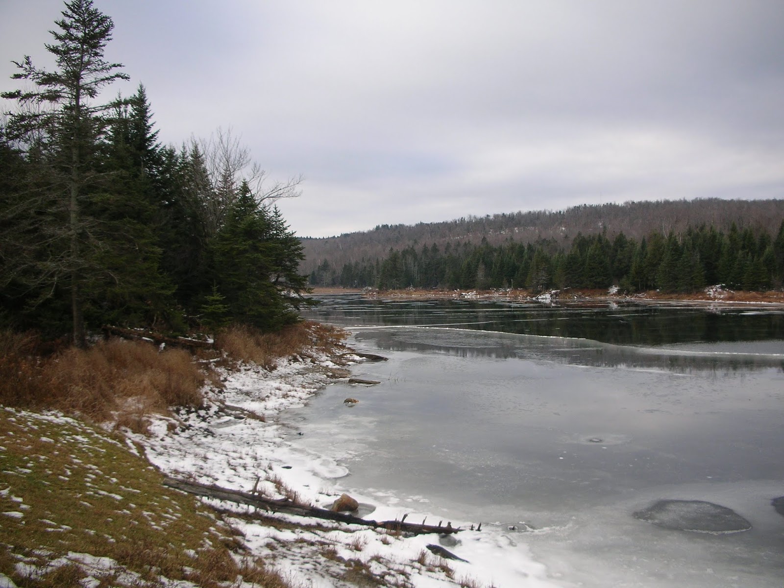
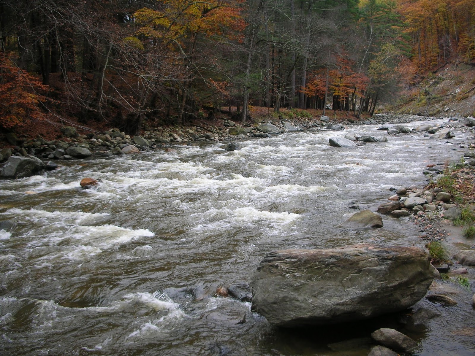
Weather conditions: Overcast with intermittent light rain, 44 degrees at start, 46 degrees at finish. Very breezy, no sun. Heavy rain through week filled all channels with flowing water. Cold River was roaring, as were all the small brooks and streams.
Location patrolled and route hiked: Mahican Mohawk Trail from Route 2 (below Brown's Garage and South County Road) parking area to Mohawk Trail State Forest Camping area.
Route traversed as follows:
•
Mahican-Mohawk Trail to Clark Mountain;
•
Mahican-Mohawk to Saddle;
•
Indian Trail to Mohawk Trail State Forest Camping area and extra on abandoned woods road.
•
Return along same path (retrace).
10.1 miles, 3:06 moving time, 25:00 stopped for data and photographs. 3:31:00 total time on trail.
The purpose of the trip was to pinpoint the location of a large downed tree near the pine plantation near Wheeler Brook, and to document the washed out bridge less than a half-mile from the starting point at Route 2. Other locations of downed trees or issues would be documented as well.
GPS coordinates were taken for issues and points of interest, with each photographed for reference.
The trip was valuable for several reasons.
• The large trees blocking the trail at the entry to the pine plantation prior to Wheeler Brook were removed since my visit in late August. Nice work whomever responsible.
• The bridge located about 4/10-mile from the start at Route 2 remains in need of repair.
• There are a few down trees, on the smaller side, but too large for one person to move.
• An old stone wall and possible cellar hole were documented and mapped.
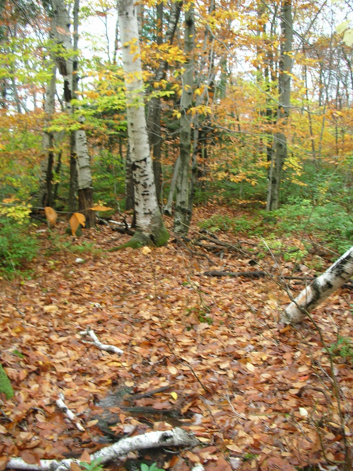
• White birch really stood out on such a grey day; group locations were mapped.
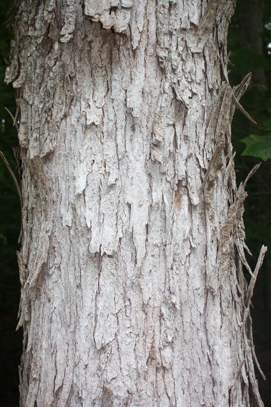
• Notable sizable White Pine prior to Clark.
• Ideas for signage along route were thought of.
• Split at Mohican-Mohawk and South County Road offered idea for loop route.
• A tremendous boulder is located on top of the Clark - Todd Ridge, documented.
• View from edge of pine plantation, looking back at ridge with White Pine rising in distance.
There looks to be newly painted white blazes on the trees marking the route. This will be a big help staying on-trail, especially from Wheeler Brook west, as approaching Route 2 stays pretty dark even in daytime.
On this visit I also found myself thinking about signage; I've covered this section of trail over a half dozen times in the last two years, usually out and back. I believe some of the signage that is used at the Indian Lookout trailhead, or at the Saddle of Clark / Todd, could be used along this route for educational and historical purposes. The area is rich and interesting, but little may exist for the public to consume. I feel that information along the journey can improve and enhance the value of a hike.
Just off the top of my head, during the run, I thought of a few ideas for signage or plaques:
• Pine Plantation and history.
• Smaller signs mentioning trail distances and location (Wheeler Brook, each peak distance, etc).
• Forest sections, either by name if exist, or by tree species.
• Actual peak of Clark should have signage or notification. Todd as well, with elevations?
• Info on the Ridge with history and Native American Indian Lore.
I thought of the three-way at Clark, South County Road and the Ridge Trail, and I think it would be beneficial if an access or right of way could be attained from the end of South County Road through the fields to the intersection of the Mahican-Mohawk, Clark-Todd Ridge Trail, and the old path to South County Road. Perhaps this has already been tried, and has failed - I don't know the history or owners involved in the land. It would be helpful for maintenance purposes, and for getting people out along the path for a one directional journey (Route 2 below Brown's Garage to the three way after Clark measured out to 3.1 miles on the GPS, attainable for most hikers. Having to double that with an out and back may take some visitors away from even beginning).
The washed out bridge 4/10 mile from the start, and labeled Bridge washout on map, will need substantial work next season, if budget allows. The bank washed out bad, and took with it a section of the bridge. There is currently one missing plank in what is left. The current path is down the eroded bank, and in the winter or spring this may be extremely difficult for travelers to navigate successfully.
The reported downed trees are not much of an issue, only two observed. The first, labeled Down Tree 1 on the map, may break down enough by next spring. It actually isn't a bad feature on the trail, but is included for thoroughness.
The second, labeled Down Log 2 on the map is at the incline and at a hard turn. In winter, it may make following the intended path difficult.
Other points of interest are included on the map. I was overwhelmed by the appearance of White Birch on this very grey day. They stood out so well against the dark, overcast sky. As we move through the small stands of White Birch, it may be a thought to have a small information piece explaining the value of the White Birch to Native Americans? There may already be documents covering this, and if so, how to get the data to potential visitors? Would small bits of signage work, or a beautiful trail guide such as what is being done for the Elders Grove by the Friends of Mohawk Trail State Forest? Knowing usage would be valuable also, maybe a sign-in log book in a wooden box at the beginning of the trail, or at the peak of Clark? My feeling from visiting this trail over the past two years is that it is underused considering the history and beauty it contains. I don't know the direction DCR wishes to take regarding this.
No one else at all on the trail, or in-sight at the campground area. At the finish of my visit, around 3:00 p.m., a hunter showed up to take over the parking area. He actually pulled in a way off the shoulder toward the trail start. He was hunting on the west side of Route 2, heading toward the Cold River.
Some Final Thoughts:
I accidently turned around after passing Wheeler Brooks, the cellar hole and stone wall on my way back toward Route 2. It was almost at the point of exiting the pine plantation heading south on a slight incline, back toward Route 2,. The ridge line through the tree branches revealed scattered tall White Pine, populating the hilltop / ridge-line. This was an incredibly emotional and spiritual moment. I was enjoying a fantastic trip, seeing the brooks and streams really flowing strong, and the white birch really had me at a high point throughout the day. I was feeling fatigue by this point, and the scattering of single trees popping up against the tall ridge was outstanding.
This will be a location and view worth revisiting often... I wonder if it was special just this one day? Will it hold the same power each time I am fortunate enough to open my eyes and heart to it?
Just prior to this point, at my second crossing of the Wheeler Brook, my camera battery died. In some ways, I appreciate this happening as my memory of the event most likely will not mirror what may show up in a photograph. My recollection of the moment won't be supported by an actual snapshot. And for that, I am grateful. I doubt the photograph would have done the view and the trees justice.
Postscript:
Timmy Z mentioned to me the following year that this reporting was beneficial and paid dividends as he utilized the material I provided to gain repair of the washed-out bridge close to Route 2.
Tippi getting ready to explore
Bridge Washout 0.4-miles from Route 2
Bridge Washout 0.4-miles from Route 2
Bridge Washout 0.4-miles from Route 2
Bridge Washout 0.4-miles from Route 2
Bridge Washout 0.4-miles from Route 2
Down Tree 1 @ 1.00 Mile from Route 2
Down Tree 2 @ 1.20 Mile from Route 2
Stonewall at start of Pine Plantation, 1.70-Miles
Wheeler Brook, two small branches a few hundred feet apart (1.90-miles)
Wheeler Brook, two small branches a few hundred feet apart (1.90-miles)
Wheeler Brook, two small branches a few hundred feet apart (1.90-miles)
White Birch stands, 2.2-Miles on Switchbacks to 2.40-Miles on "Shelf"
White Birch stands, 2.2-Miles on Switchbacks to 2.40-Miles on "Shelf"
White Birch stands, 2.2-Miles on Switchbacks to 2.40-Miles on "Shelf"
White Birch stands, 2.2-Miles on Switchbacks to 2.40-Miles on "Shelf"
Three-Way at Mahican-Mohawk, Ridge Trail & South County Rd Ext, 3.1-Miles
Four-Way at Top of Ridge, 4.00-Miles
Signage at Campground
Boulder at top of ridge, roughly 3/10-Mile past three-way at Clark
Cold River after several days of rain
Cold River after several days of rain