I decided to check on some awesome natural features in Mohawk Trail State Forest (Massachusetts). If my run went well, and the weather held up, I would also drive to Florida Mountain and check on a potential waterfall above the Hairpin Turn on Route 2.
Part I - Mohawk Trail State Forest
First off, Mohawk. I parked at the small lot opposite the Nelson Family Cemetery and picnic area along River Road. The Elder Grove Trail starts just after the bridge at Zoar Gap, and it would lead into an outstanding group of White Pine in excess of 150-feet tall, including but not limited to:

Saheda Pine in the Elder's Grove

- Saheda (171.4')
- Tecumseh (166.8')
- Osceola (160.5')
- Sacajawea (159.2')
- Sitting Bull (152.9')
- Crazy Horse (150.2')
Looking across the bridge at Zoar Gap at Elder Grove Trailhead, Negus rises up

Saheda Pine in the Elder's Grove

From there, I continued through the Red Pine Plantation, circa 1930, and into the lower meadow past the Wheeler Cemetery. The Deerfield and Cold River were really roaring today, after the heavy rain we've had recently. I re-connected with the Mahican-Mohawk Trail and wound my way through additional large White Pine before seeing a new sign with a corresponding new trail connecting to "Thumper Mountain".
Red Pine Plantation, north end of lower meadow

Wheeler Family Cemetery

This new spur connects to the fairly recent trail up Thumper Mountain from the HQ (southwest). Very nice work by the staff at Mohawk to add this piece in. On the way up to the summit, there is a bushwhack to the "Gateway", which is somewhat similar to the opening I saw a few weeks back in Monroe.
The "Gateway"

The "Gateway"

The "Gateway"

Spent some time with the rocks, climbed Thumper and enjoyed the view before heading back down toward the group camping area. Connecting with the Nature Trail, until heading down steeply to the Trees of Peace and specifically the Jake Swamp Pine (tallest tree in New England).
View westerly from the top of Thumper Mountain

Worn sign on an obscure path into the "Trees of Peace"

Chief Jake Swamp White Pine; tallest tree in the New England

More Chief Jake Swamp White Pine

Chief Jake Swamp's base

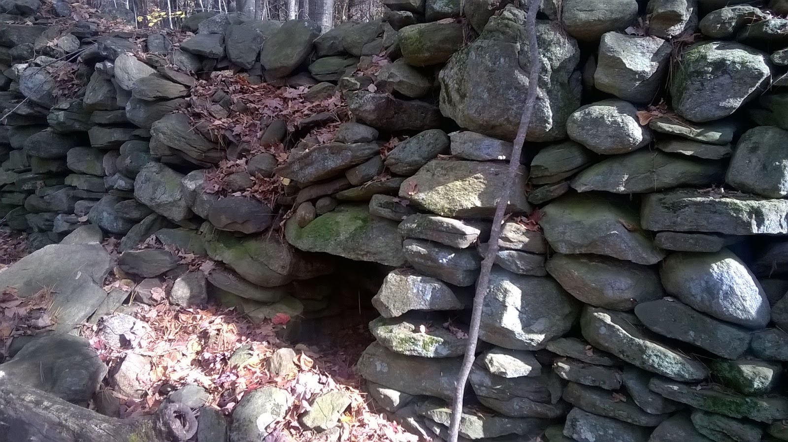
Through the upper meadow to the Algonquin Grove, and the "Cave". Past the "Passage" and the connection to the Elder Grove Trail off the Mahican-Mohawk.
Upper Meadow looking north

Upper Meadow looking back south

Algonquin Grove Cave

Algonquin Grove Cave

Algonquin Grove Cave

The "Passage"; a link from Mohawk Trail to the Red Pine Plantation

While running through the large White Pine's of the Elder Grove, I felt the spirit of my old dog Tippi with me. We had visited and ran through this area often for the last 3 or 4 years of her life. An incredible feeling of warmth came over me, and I let out a loud "TIPS!" like I used to do when we ran, to get her attention. Just as I let it out, the music I had playing through my headphones (a Lisa Germano record) broadcast small ringing bells, which sounded just like Tippi's tags on her collar used to do. I smiled the whole rest of the day!

Part II - Florida Mountain, On Top of the World & Florida State Forest
I felt good after leaving Mohawk, with 6.5-miles on my legs. I drove up to Route 2 and past the Whitcomb Summit, and to the dirt road across from BNRC's Hoosac Range Parking Area. Today would be the day I viewed the waterfall above the Hairpin Turn.
It was wet and muddy, and it suddenly got decently cold. Along the way I looked off of "On Top of the World", saw the huge Boundary Boulder, and observed the Beaver Dam. The effluent from the beaver dam tore through the remains of old stonework, and left the mountain in a series of cascades. Just to the north, a second cascade dropped off from Canyon Brook. I scrambled down the mountain a bit, but it was a little too slippery to risk by myself. It was fantastic seeing the two streams meeting a few more hundred feet below, and I promised myself to get back here when I wasn't alone.
On the return, I took one of the optional paths for a ways, it matches up with the trail layer segment from Massachusetts GIS. The Florida portion gave me an additional 2.8-miles round trip, totaling up my day with 9.3-miles!

View off "Top of the World", Mount Greylock in distance


Another View of Boulder

Stone work at effluent of Beaver Dam

Beginnings of the Falls

Beaver Dam

Beaver Dam


Also, going back to this day in 1993. I completed the Bridgeport Marathon in ~3:32:00. This was my second completed marathon, and I remember it being more difficult than the first.

Part II - Florida Mountain, On Top of the World & Florida State Forest
I felt good after leaving Mohawk, with 6.5-miles on my legs. I drove up to Route 2 and past the Whitcomb Summit, and to the dirt road across from BNRC's Hoosac Range Parking Area. Today would be the day I viewed the waterfall above the Hairpin Turn.
It was wet and muddy, and it suddenly got decently cold. Along the way I looked off of "On Top of the World", saw the huge Boundary Boulder, and observed the Beaver Dam. The effluent from the beaver dam tore through the remains of old stonework, and left the mountain in a series of cascades. Just to the north, a second cascade dropped off from Canyon Brook. I scrambled down the mountain a bit, but it was a little too slippery to risk by myself. It was fantastic seeing the two streams meeting a few more hundred feet below, and I promised myself to get back here when I wasn't alone.
On the return, I took one of the optional paths for a ways, it matches up with the trail layer segment from Massachusetts GIS. The Florida portion gave me an additional 2.8-miles round trip, totaling up my day with 9.3-miles!
Message at entrance, written on a rock: "...everything happens for a reason."

View off "Top of the World", Mount Greylock in distance

Twenty Foot High Boulder along the path

Another View of Boulder

Stone work at effluent of Beaver Dam

Beginnings of the Falls

Beaver Dam

Beaver Dam


Also, going back to this day in 1993. I completed the Bridgeport Marathon in ~3:32:00. This was my second completed marathon, and I remember it being more difficult than the first.