Thursday, September 15, 2022

Day-4 aboard the Wonder.

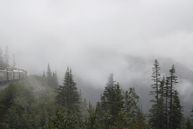
Arrive at Skagway, Alaska fairly early, with a planned excursion on the Skagway Railroad to White Pass, and back for a 40-mile adventure.

Rest of the stay on-land would be wandering about Skagway Village.

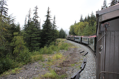
First, we boarded the White Pass & Yukon Scenic Railroad Train.  This route has been designated an International Historic Civil Engineering Landmark, putting it in the good company of such landmarks as the Eiffel Tower, the Statue of Liberty, and the Panama Canal.

The White Pass and Yukon Route (WP&Y, WP&YR) is a Canadian and U.S. Class III 3 ft narrow-gauge railroad linking the port of Skagway, Alaska, with Whitehorse, the capital of Yukon. An isolated system, it has no direct connection to any other railroad. Equipment, freight and passengers are ferried by ship through the Port of Skagway, and via road through a few of the stops along its route.

The railroad began construction in 1898 during the Klondike Gold Rush as a means of reaching the goldfields. With its completion in 1900, it became the primary route to the interior of the Yukon, supplanting the Chilkoot Trail and other routes. The route continued operation until 1982, and in 1988 was partially revived as a heritage railway. In July 2018, the railway was purchased by Carnival Corporation & plc.  Our route would travel roughly 20-miles to Whitehorse Pass and back.

00.0-miles    Skagway Depot

00.6-miles    Skagway Junction

02.4-miles    Gold Rush Cemetery

04.5-miles    Boulder Station

05.9-miles    Denver Station

06.0-miles    Skagway River East Fork Bridge

06.9-miles    Rocky Point Station

08.5-miles    Clifton Station

08.8-miles    Buchanan Rock

10.2-miles    Black Cross RockStation

11.5-miles    Bridal Veil Falls

12.3-miles    Heney Station

13.0-miles    Skagway River Bridge

14.1-miles    Glacier Station

16.0-miles    Tunnel (south portal)

16.1-miles    Tunnel (north portal)

16.9-miles    Inspiration Point Station

17.5-miles    Dead Horse Gulch

18.6-miles    Steel cantilever Bridge

18.8-miles    Tunnel (Entry portal)

18.9-miles    Tunnel (Exit portal)

19.2-miles    American Shed Station[

20.4-miles    White Pass, AK - USA-Canada Border

Upon docking, we had a rainbow over the mountain in Skagway Harbour


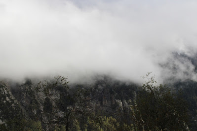
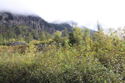
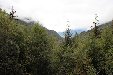
On the Train


Wednesday, September 14, 2022

Day-3 aboard the Wonder.

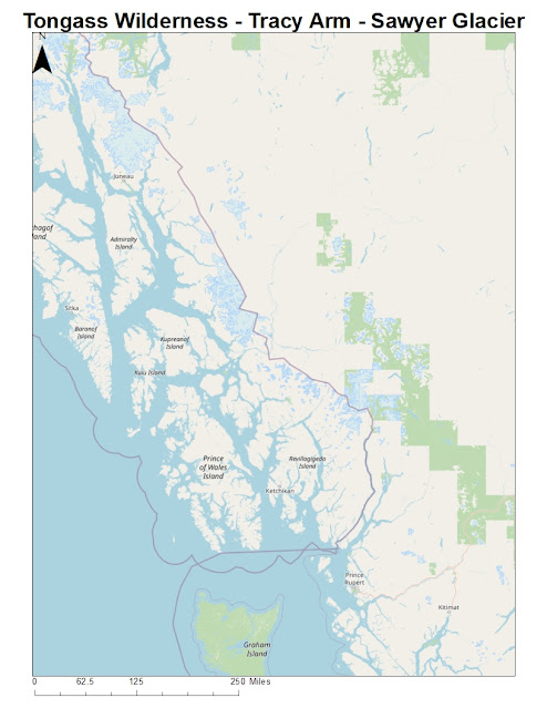
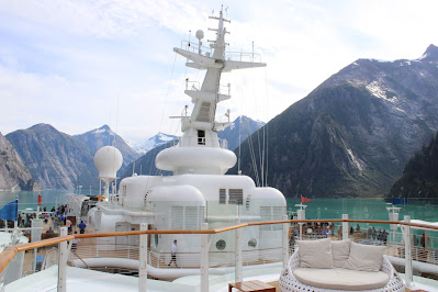
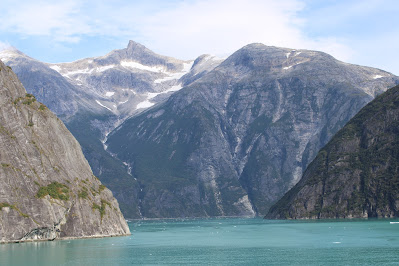
Today we sail through the Tracy Arm Fjord.  The fjord is named after Benjamin Franklin Tracy (US Secretary of the Navy during President Benjamin Harrison).  The Tracy Arm-Fords Terror Wilderness contains a total of 653,179 acres.

Tracy Arm Fjord is part of Alaska's Fords Terror Wilderness Park. The park consists of two deep-water narrow fjords - Tracy Arm (north) and Endicott Arm (south).  Both fjords are over 30 miles long and one-fifth of their area is covered in ice. During the summer, the fjords have considerable floating ice ranging from hand-sized to pieces as large as a three-story building. During the most recent glaciated period, both fjords were filled with active glaciers.

I believed we accessed the fjord via Stephens Passage and Holkham Bay.  Our destination was the Sawyer Glaciers.

The Sawyer glacier is actually divided into two separate glaciers: North and South. The South Sawyer Glacier at the end of the Endicott Arm fjord can be very difficult to access, and is only visible on limited days of the year where there is good weather. The North Sawyer Glacier is the more common part that people visit, and it’s the one located at the end of Tracy Arm fjord. The glacier itself is white above ground, giving way to an incredible cobalt blue as it extends deep under the surface of the ocean.

The face of the glacier is about a half mile wide, make it easy to view from the water (you cannot access it from the land). It’s an active tidewater glacier, which means that you can often see “calving” events where a large chunk of ice breaks off and falls into the ocean below. The ice that falls off could be a small chunk or a section the size of a cruise ship, depending on the day. The ice chunks hit the water below, which reaches depths of as much as 600 feet, and also has sections of the glacier under the surface. In fact, calving events can also happen underwater, and you will see the calved chunk of ice emerge from the water like a submarine and float away.

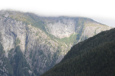
On either side of the Tracy Arm are mountain peaks that soar to 7,000 feet above sea level.

Walked 1-Mile along Deck 4 on  the jogging track with DL.


From the Archives:  I raced and completed my second Pisgah Marathon on this day in 1999, completing 50km in 5:47:30.  Ran the majority with the Bandit, throughout a beautiful park in New Hampshire.  This was my 22nd finished marathon.