Rambled out to McLean with the Wuzzam. There were a series of waterfalls that he hasn't seen, as well as a pretty incredible ledge worth noticing. We wanted to get in a longish run, so I thought the thing to do would be to connect McLean with Holcomb Farm Trails for a big loop.
The section on the eastern side of Holcomb Farm, with the Mclean Game Refuge connection available, is often tricky and in the past, slightly grown-in. I figured I would navigate it well enough, after all, I've done it before, the last time being October 10th, 2016.
The run to that point was awesome, including the following:
- Northgate Falls
- Westledge Falls
- Carpenter Falls
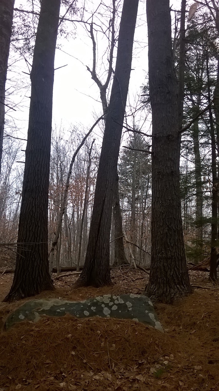
- Two "Perched" Rocks
- The extensive stonewall work along Weed Hill
- Diamond Ledge (which blew Wuzzam's mind)
- The quality of the trails that McLean and Holcomb offer
On the east-side of Holcomb, we lost our way. We ended up following a trail that eventually was swallowed up in briars.. so I knocked on a door to ask if there happened to be a trail through the field and woods in front of us that would get us in the vicinity of McLean. There is, and the home-owner told us to point toward a corner of the field and the trail lead through their conservation easement. It got us to Barn Door Hills Road, about a half-mile from the entrance to McLean, right where we should have ended up if I kept on the correct path.
The map shows where we made our mistake, circled in bright green; the section between it and the pink circle is the trail we should have stayed on. The red line is today's route, and the yellow line is from a year ago. I plan on going back in the next couple weeks to verify the route still works in real life.
Once finished, we totaled up 13.5-miles of running and exploring.
Northgate Falls
Westledge Falls
Westledge Falls with Wuzzam under the ledge
First "Perched" Boulder
Second "Perched" Boulder
Carpenter Falls
Wuzzam at Carpenter Falls plaque
Diamond Ledge
Wuzzam at Diamond Ledge
Wuzzam at Diamond Ledge
Holcomb Farm