Friday, January 19, 2018

Music 2018...

Effort #03, Drunk in My Past...

Road Warriors for Christ, 1988 Fort Worth, Texas... an attempt at covering X.


Running-wise today, I managed 3-miles along the sidewalks of Main Street.

Thursday, January 18, 2018

Martin Luther King Jr eastern Connecticut adventure Part III...

On the way home from Mashamoquet Monday, I also stopped off to see Frog Rock, and noticed several Roadside Memorials.

Frog Rock along Route 44, Eastford (I think)
Roadside Memorial along Route 44, near Swamp
Mile Marker
Roadside Memorial, not sure if on Rt 44 or Rt 74

Wednesday, January 17, 2018

Another from the "Twenty-Years Ago Today" department....

 LACK OF LOST MOUNTAIN

Well, despite Wuzzam insisting that we would “find that lost mountain”, Mt. Riga would have to wait for the ice to leave before any of us ventured out that way to search. Instead, a quick call to Farmer Tom in Ashfield put us in the direction of Hawley for the second time in two weeks. There was plenty of fresh light fluffy snow within its confines!

We ended up breaking trail no matter where we went, and the conditions were as perfect as one could hope for. Our stop at Moody Spring had us in tears (due to laughter) as Wuzzam rambled on and on about how he had imagined it to be a huge tourist attraction with signs and all. The pipe shooting out of the stone with the tasty mineral filled water exiting it wasn’t exactly what he had expected, but he did admit to its power of “regeneration”. When I let him know that it took me 9 years to find the thing, he could understand why. Up until last February when the Old Goat, Uphill and I finally made it to the water, it was “Lost Spring” along with “Lost Mountain” we were searching for.

Several of the trails we explored are not on maps, and are not exactly “trails” either. Blasting down the slope to Moody Spring had someone mentioning that it “wasn’t much of a trail”, to which Karl laughed and said “who needs a trail??” That about sums it up for snowshoeing... you really don’t need a trail, just snow.
MOODY SPRINGS SNOWSHOE RAMBLE II
JANUARY 17, 1998 HAWLEY, MA


Keen-Eye           20km         3:21:00
Old Goat            20km         3:22:00
Bandit                20km         3:23:00
Wuzzam             20km         3:24:00
Farmer               20km         3:25:00

Tuesday, January 16, 2018

Part II from my Martin Luther King Jr day in eastern Connecticut...

When I brought Wuzzam to the Goshen Chamber back on November 10th, he got really excited and mentioned that there was a similar structure in Thompson, Connecticut, that he had seen years ago.  The Woods Walker also has mentioned this site to me, letting me know that it was worth visiting.

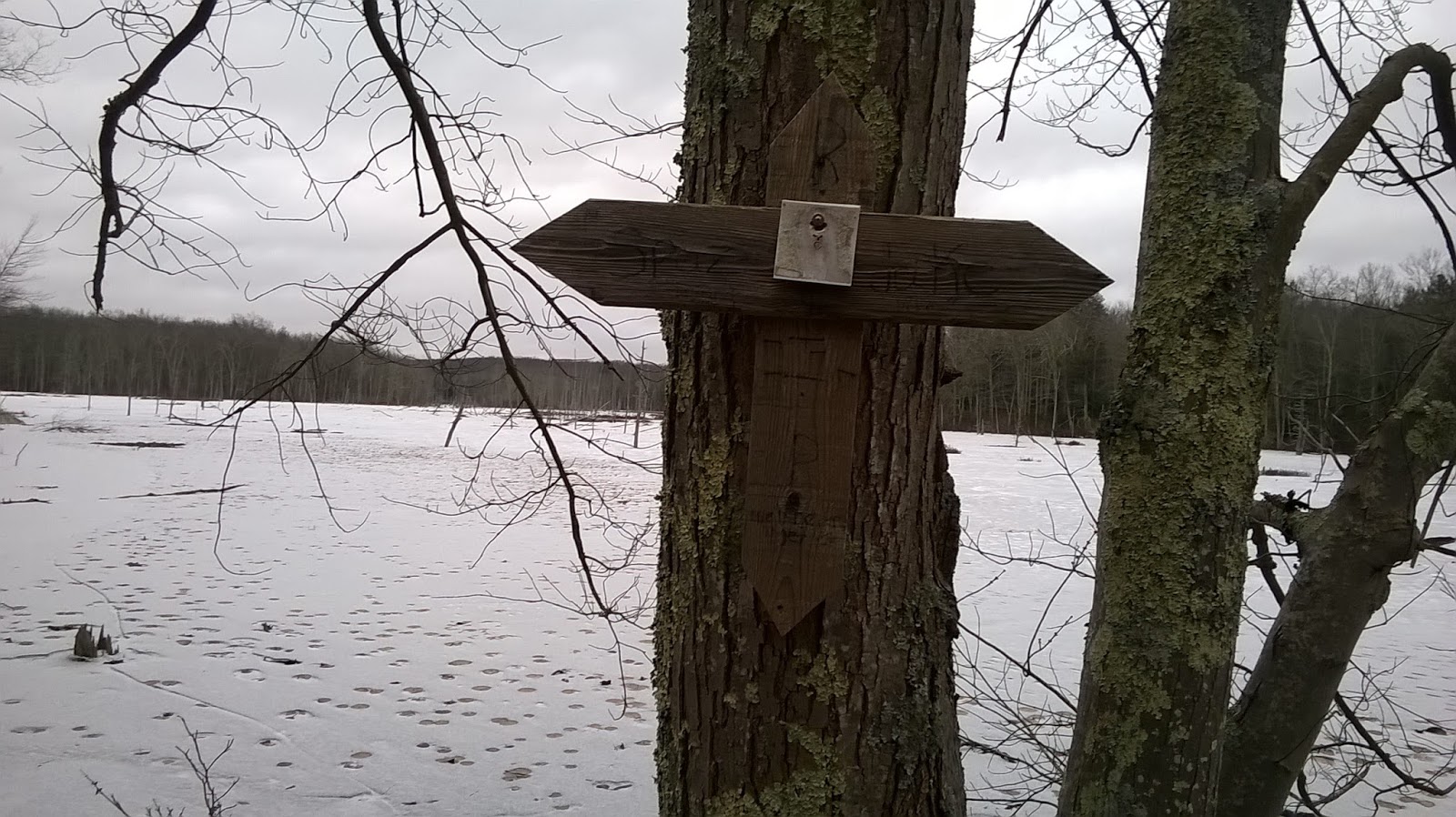
Wuzzam and I figured that after jogging in Mashamoquet, we would leave a car at his condo, grab our buddy Sammy, and head over to the Airline Trail State Park for a 0.6-mile walk to see the chamber.  It was definitively worth a visit!

Thompson, CT Stone Chamber
Wuzzam & Sammy at the Thompson, CT Stone Chamber
From Inside Thompson, CT Stone Chamber
Thompson, CT Stone Chamber

And, from the wayback machine...  15-years ago today, January 16th, 2003 the Hoosic Range

Tippi with all four feet off the ground!
Pop and Paul, with Moose scat
Paul and Pop at High Bridge 
 Greylock in the background, heading away from High Bridge

Monday, January 15, 2018

Enjoy and Reflect a bit for Martin Luther King Jr Day!

Another Goal I have for 2018 is to visit forest in Connecticut I have not been to, and enjoy what these new (for me) spots have to offer.  Today, I drove towards Wuzzam's neighborhood, as he has wanted to introduce me to Mashamoquet Brook State Park in Pomfret, Connecticut.

Mashamoquet is home to Table Rock, Wolf Den, and Indian Chair.  We spotted some other outstanding stone structures as well over our 4.8-mile jog.


Table Rock, Mashamoquet Brook State Park

Wolf Den, Mashamoquet Brook State Park

Indian Chair, Mashamoquet Brook State Park


Balanced / Perched Rock, Mashamoquet Brook State Park

Balanced / Perched Rock, Mashamoquet Brook State Park

Flat Rock at Mashamoquet Brook, Mashamoquet Brook State Park
Mashamoquet Brook, Mashamoquet Brook State Park

DEEP Map

Sunday, January 14, 2018

On the road to avoid the ice-sections the woods possess.  Took myself around the 7-mile Hill Street Loop in 1:06:00.  That was a 6.2 mph average, which I was really pleased with (and surprised).

As I was running, I thought that I should do this loop more often.  If that ends up being the case, I should set a goal of sub 1-hour for the run before the year is over.


Saturday, January 13, 2018

After the heavy rain and warmth yesterday I was dreading the conditions in the woods.  I managed 3.8-miles along the trails of McLean, with about 75% of the trails in decently good shape.  The other 25% varied between wet and slushy and difficult slippery ice.

The other thing noticed were  the streams and brooks really exceeded their banks.  The small bridge I usually cross was totally underwater.  The following picture is the flooded bank and trail, a couple hundred feet before the brook.


Friday, January 12, 2018

Drove out to Hoosick, New York with my folks to pick up beef.  Terrible rain and fog throughout the journey.

Sticking with the DAR and Goshen geodatabase, I've added the USGS Topographic Quadrangle Image for Goshen to the geodatabase.

Thursday, January 11, 2018

Goals 2018

Of the two Geodatabases I planned on working through this year, DAR State Forest and McLean Reservation, I've begun work on DAR.

The Daughter's of American Revolution State Forest (DAR) is mostly located in the town of Goshen, Massachusetts.  A bit of it does run north into Ashfield, which I'll address soon.

Here is the location of Goshen in relation to the Commonwealth of Massachusetts.


Wednesday, January 10, 2018

Dolmens and Standing Rocks, Evidence of Ancient Civilizations

6:00 PM - 7:30 PM
Prosser Public Library - Community Room


I assisted my friend the "Woods Walker" with his program at Bloomfield Library tonight.  We spent a few days looking over his materials and readying a power-point demonstration.

I thought that the presentation went very well, and I enjoyed seeing Geoffrey shine.  I believe we are "on" again at an additional library in February.


Tuesday, January 9, 2018

Goals 2018

Another Goal I've set for 2018 is to visit a four of Mass Audobon's properties, one per quarter sounds about right.

  • High Ledges                                   Shelbourne Falls
  • Conway Hills                                 Conway
  • Roads End                                      Worthington
  • West Mountain                               Plainfield

Monday, January 8, 2018

Music 2018...

Effort #02, I Need You...

Eurythmics...


Sunday, January 7, 2018

Another very cold day;  ran around some streets in Suffield, 5.2-miles.


Marathon Archive Department...

On this day in 1996, I participated in the annual "Fat Ass 50" in North Adams, Massachusetts.  It consisted of many loops on the road, on a cold, gray day, and I believe there was a pretty bad snowstorm on the drive home.  I have a time listed of  5:32:35, and I think that was for 26.2 miles - not 50k.  This was my 8th marathon completed.

Saturday, January 6, 2018

Single digit cold and very windy;  got out to jog 4.1-miles along Main Street.

Friday, January 5, 2018

Incredibly cold after the snowstorm through yesterday.  Single digits with 20 - 30 mph winds, with drifting through the open areas.

It was later in the afternoon than I had hoped to start snowshoeing, and I didn't know what would be plowed for parking.  I drove to Sunrise Park since it is a favorite location of mine, plus it gets plowed quickly after storms and is close to home.

One pair of tracks was slightly visible in the snow, but the wind obscured and covered the majority of the impressions.  The snow was slippery (very cold and dry) and deep (at least a foot along Whites Pond Shore for the most part, and much deeper when the wind felt like piling on).  I snowshoed the mile around the pond, and then headed back for a 2-mile semi-run.  It was very difficult going out in the deep, unbroken snow.  The cold and wind were bearable.  All in all, a pretty good day.

What Sunrise Park looks like at 8-degrees in January
Today's Route