Friday, August 10, 2018

PT on the left hip today, managed a trip to Robinson State Park in Feeding Hills, Massachusetts to explore a bit.  The hip felt very stiff for the first couple miles, and I alternated run/walk for a total of 3.2-miles.


Thursday, August 9, 2018

Another interesting Megalithomania UK / Jim Vieira video...  "Megaliths, Stonework and Giants from Ancient New England".

Wednesday, August 8, 2018

Enjoying the Black Lizard / Vintage Crime series once again...  completed James Cain's "The Postman Always Rings Twice", originally published 1934.


Tuesday, August 7, 2018

Music 2018...

Effort #32, "WIld Thing / Louie Louie"...  Long ago and far away, the Primitives in 1984... Adams.


Monday, August 6, 2018

An additional read from the archives of  Black Lizard / Vintage Crime...  completed Jim Thompson's "Nothing More than Murder", originally published 1949.


Sunday, August 5, 2018

Still hitting ninety on the thermometer, with a very small drop in humidity.  I completed a 4.8-mile loop in Mclean right at mid-day.  Too hot, too humid, and too buggy to call it fantastic...  but it was better than not getting out at all.

North end of Spring Pond, looking south

White Pine envelope the entirety of Spring Pond

There are a few White Pine in the Spring Pond area that reach 140'


Saturday, August 4, 2018

Rain most of the morning, with the sun coming out in the afternoon.  I visited the Metacomet from Route 20 in Granby, heading north.  The humidity was brutal, as were the gnats.  

Enjoyed a quiet 4-miles along the trail.

Looking slightly northwest off Copper/Peak Mtn

Looking more west off Copper/Peak Mtn

Looking slightly southwest off Copper/Peak Mtn


Friday, August 3, 2018

Took a run along Main Street just before dark, 4.1-miles.

And a Blast from the Past...

On this day in 1996 I completed my 12th marathon.  My route took me along the Appalachian Trail, from Salisbury, Connecticut into Massachusetts.  My turnaround point was at the summit of Mt. Everett,   My time on the trail was roughly 6:27:53, which included a break for a lunch at Everett.

Thursday, August 2, 2018

More Black Lizard / Vintage Crime reading progress...  completed Charles Williams's  "The Hot Spot", originally published 1953.


Wednesday, August 1, 2018

Continuing to track my "peaks", or at least "high points" along the trails I cover.

July's High Points:
  • Cat Rocks, Union, CT
  • Peak / Copper Mountain, Metacomet Trail, East Granby, CT
  • Little Tom, Mt Tom Range, Easthampton, MA
  • Mt Tom, Easthampton, MA
  • Deadtop, Mt Tom Range, Easthampton, MA
  • Whiting Peak, Mt Tom Range, Easthampton, MA
  • Goat Rock, Mt Tom Range, Easthampton, MA
  • Dry Knoll, Mt Tom Range, Easthampton, MA
  • Mt. Nonotuck, Mt Tom Range, Easthampton, MA
  • East Barndoor Hill, Granby, CT
  • Stony Hill, McLean Refuge, Granby, CT
  • West Sufffield Mountain, Suffield, CT
  • O'Neil Hill, Williamsburg, MA
  • Tanager Hill, Simsbury, CT
  • Indian Council Caves, Barkhamsted, CT
  • Pine Mountain, Barkhamsted, CT
  • Lake McDonough Lookout I, New Hartford, CT
  • Lake McDOnough Lookout II, Barkhamsted, CT
  • Sunset Lookout, Barkhamsted, CT
  • "Nick's Hill", West Suffield Mountain / Metacomet Ridge
June's High Points:
  • West Sufffield Mountain, Suffield, CT
  • High Ridge, Williamsburg, MA
  • Orchard Hill, Goodwin Race, CT
  • Parker Hill, Dubuque State Forest, Hawlaey, MA
  • Lake McDonough Lookout I, New Hartford, CT
  • Lake McDOnough Lookout II, Barkhamsted, CT
  • Sunset Lookout, Barkhamsted, CT
  • The Pinnacle, Penwood State Forest, CT
  • Little Thumper Mtn, Mohawk Trail State Forest, Charlemont, MA
  • Thumper Mtn, Mohawk Trail State Forest, Charlemont, MA
  • Indian Path to Saddle between Clark & Todd, Mohawk Trail SF, Charlemont, MA
  • Clark Mountain, Mohawk Trail State Forest, Florida, MA
  • Todd Mountain, Mohawk Trail State Forest, Charlemont, MA
  • "Nick's Hill", West Suffield Mountain / Metacomet Ridge
  • Hampden Overlook, Hampden, MA
  • Goat Rock, Hampden, MA
  • Minnechoag Mountain, Hampden, MA
  • Hill 880' (Bald Mtn, Hampden), Hampden, MA
  • Pine Mountain, Hampden, MA
  • Rattlesnake Hill, Hampden, MA + Somers, CT
  • Perkins Mountain, Camp Ayapo, Somers, CT
  • The Pinnacle, Shenipsit State Forest, Somers, CT
  • Bald Mountain (Somers), Shenipsit State Forest, Somers, CT
  • Peak / Copper Mountain, Metacomet Trail, East Granby, CT
  • Moore Hill, DAR State Forest, Goshen, MA
May's High Points:
  • "Nick's Hill", West Suffield Mountain / Metacomet Ridge
  • West Suffield Mountain, Metacomet Trail, Suffield, CT
  • Copper - Peak Mountain, Metacomet Trail, Granby, CT
  • Stony Hill, McLean Refuge, Granby, CT
  • Pine Mountain, Tunxis Trail, Barkhamsted, CT
  • Indian Council Caves, Tunxis Trail, Barkhamsted, CT
  • Monks Mound, Cahokia Mounds State Historic Site, Collinsville, IL
  • Trillium Hill, Tunxis Trail, East Hartland, CT
  • North Peak, Tunxis Trail, East Hartland, CT
April's High Points:
  • Stony Hill, McLean Refuge, Granby, CT
  • "Nick's Hill", West Suffield Mountain / Metacomet Ridge
  • Bartlett Tower Hill, Tariffville, CT
  • Pinnacle, Penwood State Forest, Bloomfield, CT
  • Skyline Overlook, Somers, CT
  • Rattlesnake Hill, Somers, CT
  • Minnechoag Mountain, Hampden, CT
  • Copper - Peak Mountain, Metacomet Trail, East Granby, CT
  • Hart's Pond Hill, Agawam, MA
March's High Points:
  • Hatchet Hill, Granby, CT
  • "Nick's Hill", West Suffield Mountain / Metacomet Ridge
  • West Suffield Mountain, Metacomet Trail, Suffield, CT
  • Perkins Mountain, Somers, CT
  • Skyline Overlook, Somers, CT
  • Rattlesnake Hill, Somers, CT
  • Minnechoag Mountain, Hampden, CT
  • Stony Hill, McLean Refuge, Granby, CT
February's High Points:
  • Skyline Overlook, Somers, CT
  • Goat Rock and Lookout Point, Hampden, MA
  • Minnechoag Mountain, Hampden, CT
  • "Nick's Hill", West Suffield Mountain / Metacomet Ridge, Suffield, CT
  • Hill 880', Hampden, MA
  • Pine Mountain, Hampden, MA
  • Perkins Mountain, Somers, CT
  • West Ridge, DAR State Forest, Goshen, MA
  • Walnut Hill, Williamsburg, MA
  • Copper - Peak Mountain, Metacomet Trail, Granby, CT
  • West Suffield Mountain, Metacomet Trail, Suffield, CT
  • Merritts Hill, Williamsburg, MA
January's High Points:
  • "Nick's Hill", West Suffield Mountain / Metacomet Ridge
  • Bald Mountain, Shenipsit State Forest
  • The Pinnacle, Shenipsit State Forest
  • "Balanced Rock Hill",  Shenipsit State Forest
  • "Bent Birch Hill", Shenipsit State Forest

Tuesday, July 31, 2018

Took a hike with the WoodsWalker tonight, to Tunxis.  He's been wanting to see the balanced rock along the trail...  2.1-miles.

At the Cascade Balanced Rock along the Tunxis Trail

Balanced Rock and the WoodsWalker

Split Boulder

Split Boulder and the WoodsWalker

Large Red Oak along the Tunxis Trail

Monday, July 30, 2018

Music 2018...

Effort #31, "Les Brers in A Minor"...  My simple version of the Allman Brothers melodic masterpiece.


Sunday, July 29, 2018

K2 and I rode out to Bigelow Hollow State Park, to meet up with the Old Goat, Wuzzam, and Wuzzam's son.  The humidity broke, yet it was still pretty warm and sunny.  Occasionally, a nice strong breeze upped my mood.

We began along the old Breakneck 20k course, taking the Ridge Trail out to the north end of Breakneck Pond.  After Cat Rocks, the trail has relocated a good distance through the boulder field.  This avoids the old beaver dam crossing, but adds another quarter to half-mile to the section.

Once at Breakneck Pond, we chose the east side trails, which were as I remembered, just overgrown a bit.  Truthfully, the Ridge Trail had some "narrow" sections as well.  A few more years and it might be difficult to see where the trail is.

At the south end of Breakneck, I think we joined the Nipmuck Trail for a bit, Wuzzam and Son broke off, and the Old Goat and I continued to the main road, and then the east side of Little Bigelow Pond Trail to the parking area.  9.1-miles on our legs.  K2 pulled in shortly after, with a 7+ mile day.

Top of Cat Rocks

Wuzzam and Son along the Boulder Field

North End of Breakneck Pond, looking South

Nearing the Southern End of Breakneck Pond, along the eastside


Saturday, July 28, 2018

It appears the humidity lessened a bit, but it was still warmer (upper 80's, still humid).  I kept the driving short and ended up on Phelps Road, to run the Metacomet from there to Peak/Copper Mountain and back.  Completed the 8.0-miles in slow-motion, but I was happy throughout.

Black Birch

Feathered Friend

Open View off the Metacomet


And on this day in 2005...

Tippi and I ran the Savoy General Store Marathon.  It was lengthy, over 29-miles I believe.  From Haskins Road to the General Store, which brought us all the way over to Windsor Jambs, we had the company of "Max", a friendly dog we picked up at Loop & Haskins intersection. 

Tippi along the trails of Savoy, 2005.

Oddly, each time we came to an intersection on the trail, "Max" knew which way we were planning on turning (even though he lead).  He managed this for 9 - 10 miles.

Total for the day was roughly 29.30-miles in 6:17:52.  It was my 27th completed marathon, and Tippi's 3rd.  After finishing, I met Jane Phinney in the Savoy Town Offices;  she was the Savoy Town Clerk and is the author of  "Taking the High Road". 


Friday, July 27, 2018

We had several appointments throughout the morning and early afternoon, so I was able to get to Mt Tom to run at about 3 p.m.  The heat and humidity were still bothersome, and despite most of July being this way, I am still not conditioned for it.

I parked at the entry road, and took the following trails (to try to make it to the reservoir):

Bray Lake Trail
Knox Trail
Woodland Trail to Little Tom
Obscure Trail continuing toward the end of the Reservoir

Then, 

B-17 Memorial to Unlisted Trail
M&M
DOC Trail
Keystone
Universal Access

Just at the meeting with the Metacomet, just north of Mt Tom, the sky really opened up and I waiting it out underneath a big maple tree.  I stayed fairly dry, considering.  I am going to remember this tree.

After that, I had a mile or so on the Metacomet, and had my first close-up encounter with a rattlesnake laying in the center of the trail.  I didn't initially see the snake, which made it heart pounding for me.

Both the snake and I survived the scare, and at the end of the day I had 8.5-miles in.

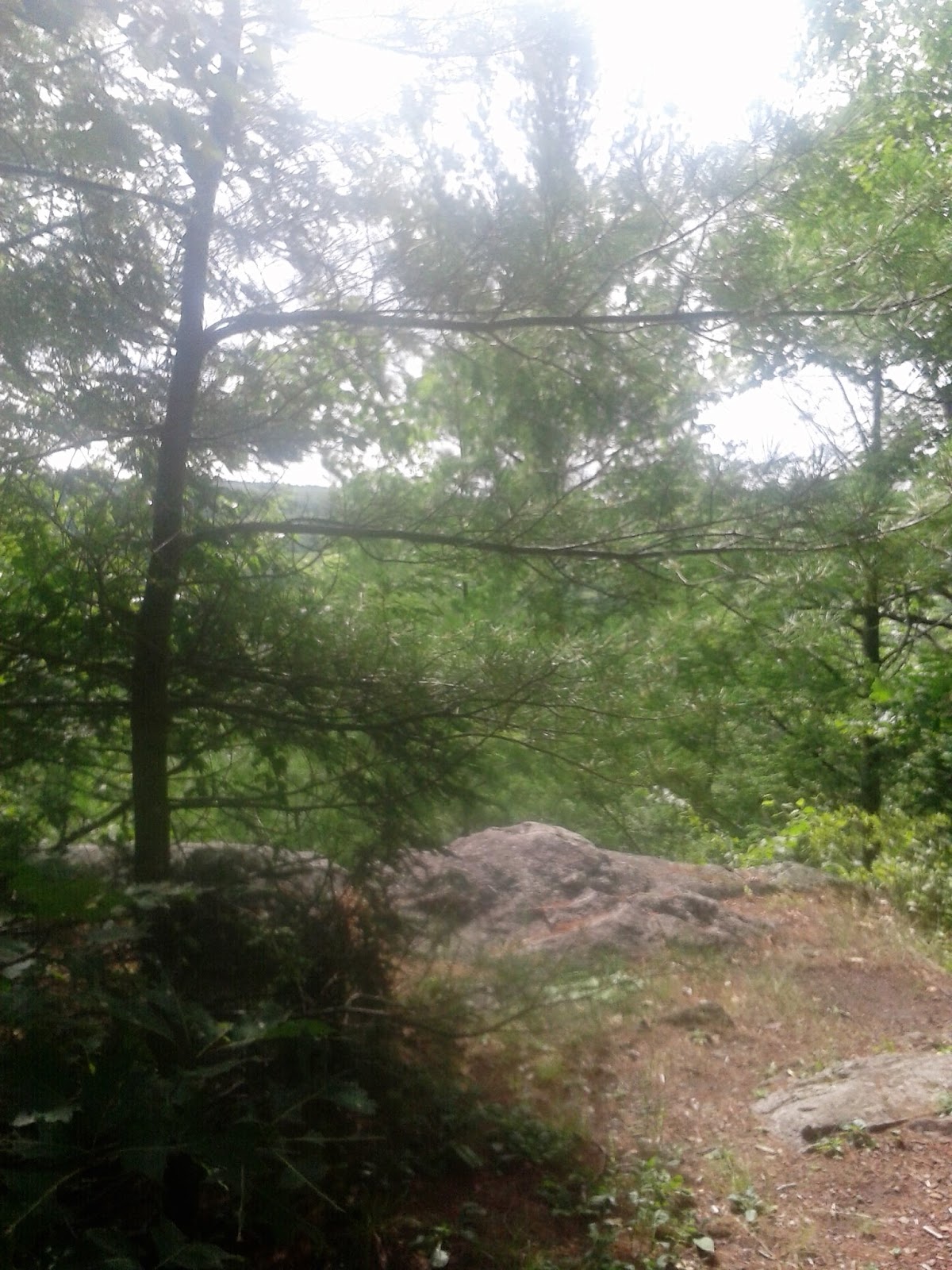
Top of TTOR's Little Tom

Along the ridge, after the rain had fallen

Looking back at Mt Tom

Rattlesnake on the trail? (roughly 3' long)