Tunxis State Forest, with K2 and Wuzzam.
Plan was to run from Route 20 for an hour, and return in an hour fifteen.
We made it to Roberts Brook right at an hour, and 3.8-miles.
Total trip on schedule, and 7.6-miles on our legs for this humid morning.


It was a great day to continue on my Massachusetts Appalachian Trail Adventure. Low temperature as well as low humidity, and the bugs didn't seem to be out either.
My last visit on June 10th had me turning at a brook crossing in the Town of Washington. Today, I parked on Blotz Road with intentions of traveling to Grange Hall Road. This would allow me to run through Washington, Hinsdale and Dalton today.
I climbed Warner Hill and Tully Mountain, and actually went a bit past Grange Hall Road to the Barton Brook crossing before turning back, finishing with 11.1-miles.


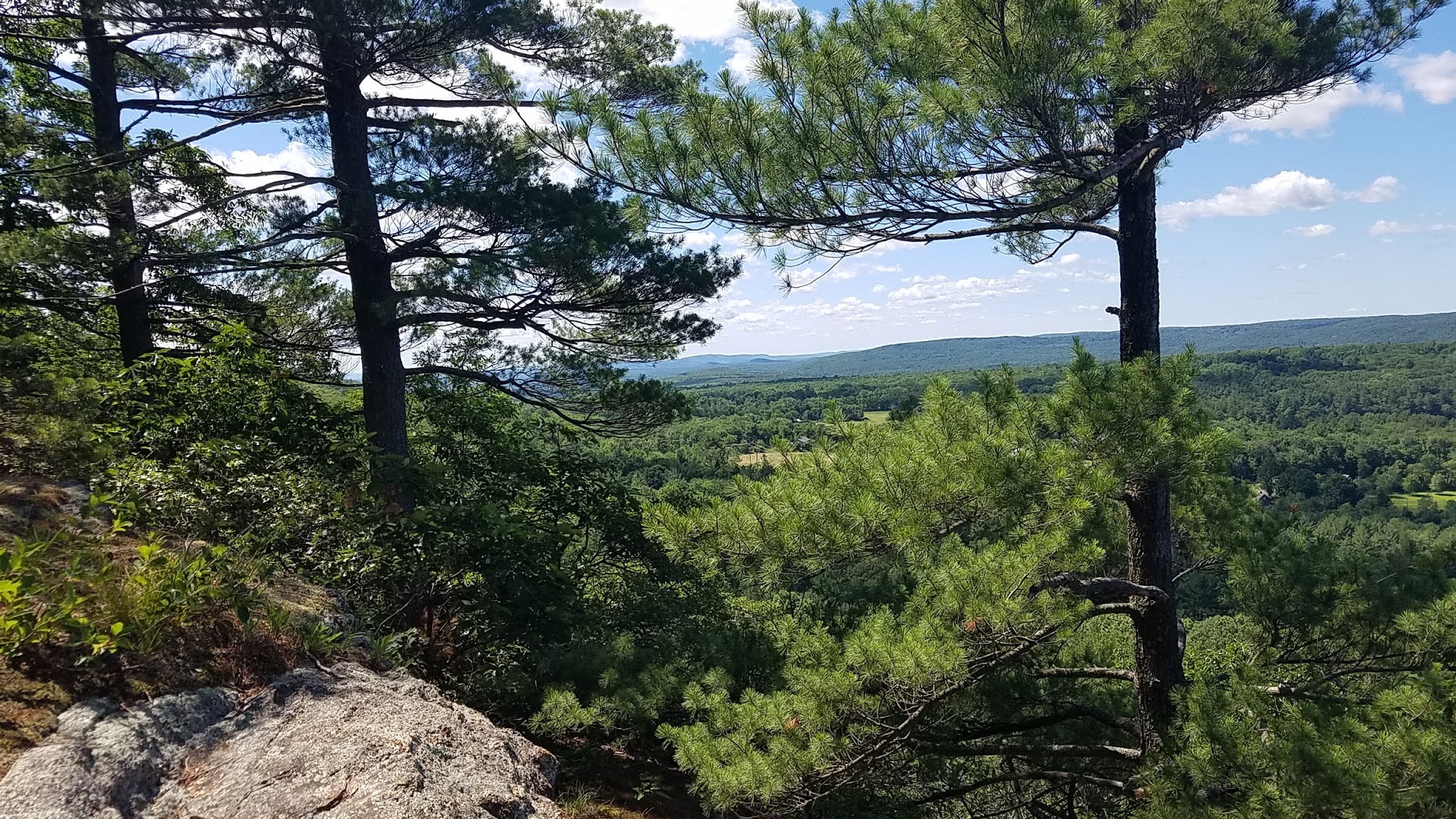
Beautiful morning, sixty-degrees and no humidity (or bugs).
Took another route up Sodom Mountain, this time completing 5-miles.
Two great discoveries today...


First part of the day was picking out and purchasing a new dining room table & chairs combo.
With the rain present throughout, I thought I'd take a hike on Sodom Mountain, climbing up the old forest road from Route 57. I followed it up to the gas-line crossing, which was about a mile.
Felt good, so I continued on a bit of single-track, which looped around itself multiple times before reconnecting. Good use of my time, as I had not been on this single-track before.
Ended the day with 4.5-miles.


Visited Sodom Mountain and the Granville Gorge today.
Found a good spot to cross the brook at the Gorge to enter the trail network below Drake Mountain. This was a great "find", and means that I can avoid a bushwhack to go from Sodom to Drake Mountain across Munn Brook.
Then to Sodom Mountain, to explore another route "up". Excellent route that exited onto the old forest road across the top, and then re-entered back to the intersection. Much of the route tread is decent shape, the only drawback to this trail is the steepness of the initial climb.
Ended the day with 4.6-miles, with a bonus of a nice balanced rock about a mile up.


"High Points" along the trails I've visited during May, 2021...
Back to Shenipsit and the Bald Mountain Pond area to run with Wuzzam. This time, we were planning on 7 - 10 miles to see if his knees handle that ok.
We stuck to many of the soft, single track mountain-bike trails as much as possible. We did intersect the Blue Blazed Shenipsit Trail (which was really badly grown in with fern on the section we navigated) and stuck with that over Balanced Rock Hill.
From there, we headed toward The Pinnacle on opened-up motorcycle path. Climbed to the northern intersection of the Pinnacle at "Twin Birch", and rambled back south toward Bald Mountain.
By the finish, we had totaled 8.1-miles for the day.


