Sunday, May 28, 2017

On my way to visit my folks, I stopped off on Route 116 in Savoy, to run a loop through Windsor along Bush Road, Upper Road, Ridge Road, Middle Road, Windigo Road, and Bush Cemetery Road.  Totaled up at 4.8-miles.

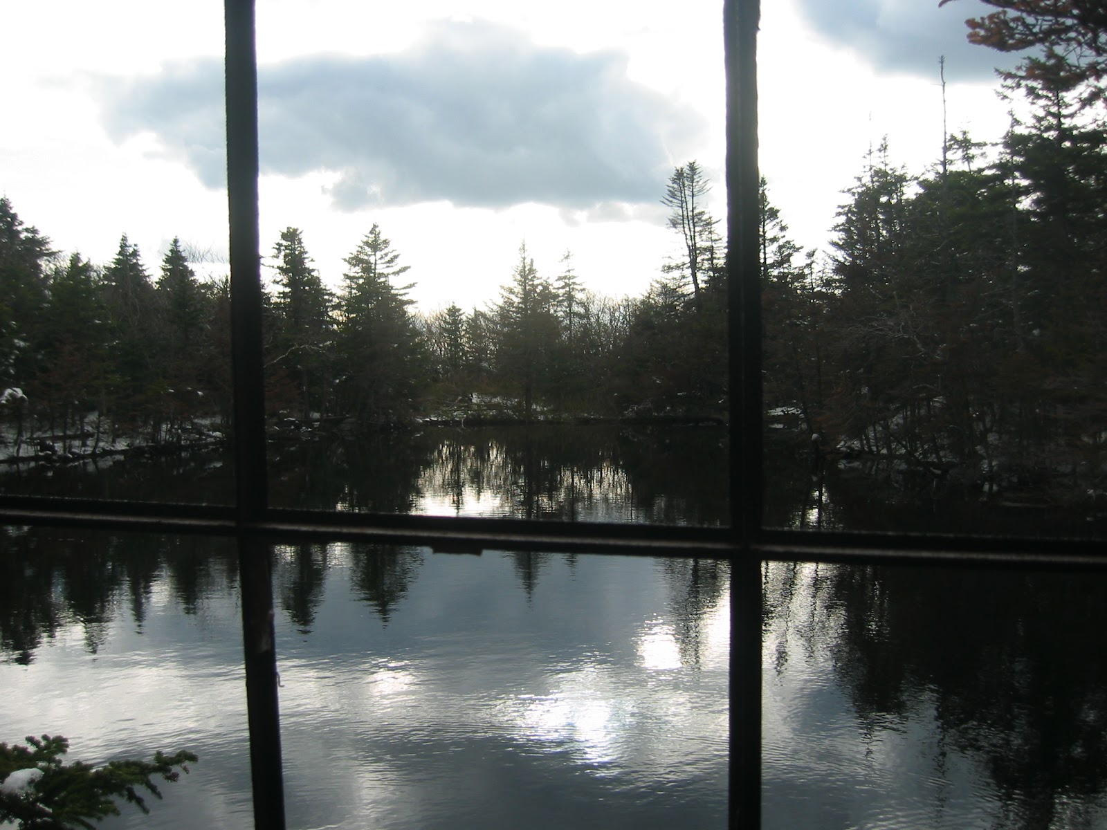
One of the old sites passed by was Camp Windigo, which seems to have been demolished since my last visit.  Here is some old information detailing it's history.

Part of this run has been used in the past when we would complete a Whitcomb Summit to Windsor Jambs run, or when the Wuzzam and I completed the Dunbar-Whitcomb-Jambs Marathon on September 7th, 2014.  Beautiful area, old roads somewhat grown in, part of Windsor State Forest and the old Camp Windigo.

Took a few moments to admire the Bush Cemetery, established in 1798.  Ended the day with a wonderful visit with the folks in Adams.

A look at the cemetery gate and sign
 A view of the cemetery including the old Maples
 An interesting rock, what kind of shape do you make it out to be?


Also on this day in 1995 I completed my 6th marathon, Vermont City.  I finished in 3:08, and qualified for the 100th runnig of the Boston Marathon.

Saturday, May 27, 2017

Took a drive to Barkhamsted, to Peoples State Forest, with hopes of completing a decently long route.  Finished the day with 11.2-miles, and plenty of climb.  I call it a success.

Along the way, I enjoyed the following:
  • I crested Ragged Mountain twice.
  • Dropped down to the Barkhamsted Lighthouse Village Archeological Preserve.
  • Climbed up the waterfall back to the Jesse Gerard Trail.
  • Topped out at the first peak on Gerard, with a fine view west and south.
  • Climbed over Chaugham Peak.
  • Continued through a passageway between two giant stones.
  • Visited Big Spring.
  • Passed by Beaver Meadow.

Start of the Journey over Ragged Mtn on the Elliot Bronson Trail
 Lighthouse Trail Head, part of the Falls Cutoff Trail from Jesse Gerard
 Waterfall toward the middle of the climb
 
 Top of the Waterfall
 First Crest of Jesse Gerard, view southwest with Farmington River
 View from the Top of Chaugham Peak
 Through the Passage
 An old Cellar Hole along Charles Pack Trail
 Route for the day

Friday, May 26, 2017

Visited the Metacomet on Route 20 again today, but went south to explore and hopefully connect side-trails.  Completed a little over 3-miles (3.2) and successfully followed the side-trails to re-establish with the main corridor.

I am puzzled and amazed by stonewalls going up or down a steep slope.


Thursday, May 25, 2017

Music 2017...

Here is effort #15, You Blister My Paint...

This was a song I wrote after reading "A Clockwork Orange" by Anthony Burgess, during the summer of 1984.

The Primitives played it fairly often, but this was just Skip and I upstairs at a church in Williamstown. I sang, played rhythm guitar and bass. Skippy delivered the organ and lead guitar.


Going back to this day in 2002, I had photographs from Bigelow Hollow State Park... 

The Old Goat, Cemetery Man & Wuzzam at Mashapaug Pond
Old Goat & Cemetery Man crossing the swamp (before re-route)
 

Wednesday, May 24, 2017

Another after work run, again on the Metacomet but from Route 20 in Granby.  Really nice night, and I stayed inspired enough to complete 3.7-miles.

Copper/Peak Mountain, with Hueblin in the background.
 An open view west through the trees.
 Looking at the quarry in West Suffield (Manitook Mountain).

Tuesday, May 23, 2017

After work left me time for an easy 3.1-miles on the Metacomet from Phelps Road north to the first stonewall crossing.  Decent night in the low 70's for temperature, not too humid, but the bugs were busy.

View after the high point, about a mile out.
My riding companions.

On this day in 2006, I completed a Tunxis Marathon in 5:41:50.  I had Johnny Bandit along for company, as well as Tippi.  It would be my 32nd marathon completed, and Tippi's 8th.

Monday, May 22, 2017

Music 2017...

Here is effort #14, Today...

Back to the Dark Heart Duo, from July 2016 at Crown Street.

Jon Evil and I trying to recreate the sounds of the Jefferson Airplane playing live; we enjoyed and simplified with just drums and acoustic guitar.


Sunday, May 21, 2017

A mid-day run in McLean with high sixties for a temperature.  I managed to finish the 4.6-mile loop in 52:50, which is my best effort on this course.  I also totaled over 40 miles for the week, which I doubt I've done in 3 or 4 years.


Additionally, on this day in 2005, I completed my 26th marathon (and Tippi's 2nd) at the Mount Greyklock Marathon '05 version {AKA Molitori 50th Birthday Bash & Annual Celibacy Run}.  Total time of 6:47:02.  Five out of twelve starters completed the full 26.2-miles.

Saturday, May 20, 2017

Early start with K2, to the Metacomet on Phelps Road.  I thought I would make another attempt at the 8-mile route to Copper/Peak Mountain and back to Phelps.  Last week I averaged 4.5-mph, finishing around 1:47:00.  The weather was perfect for me, and I had a great run of 1:41:000.  It is always nice to enjoy some improvement.


Looking south from Copper Mountain toward Talcott Mountain
Today's Route...
Fifteen years ago today, May 20th, 2002, there was a snowstorm in Adams and I took a run up Greylock to celebrate.

Tippi at the split between Cheshire Harbor and Old Adams Road
The Cabin at the pond along the AT
Through the window
The Greylock Summit
The Henry David Thoreau Stone
Back at the base, Cheshire Harbor Trail Head parking area

Friday, May 19, 2017

I've had it in mind to find the Williamsburg Balanced Rock again.  I say again because I found it by accident once before, between 2006 and 2008, when running in Conway State Forest.  The thing is, I always thought it was in Conway, but in actuality it is in Williamsburg.

I have been out at least a couple times over the past 3 or 4 years half-way thinking of finding the Balanced Rock again, but this forest tends to make me wander.  Which makes finding the Rock difficult.

This time, I researched my old notes and had a decent idea of where the spot was and the a trail that once lead to it.  Didn't really help as you can see by the map - the white line is my total search, and the red line is a "good path" leading to the Balanced Rock and two trail-heads.  The end result is that I did locate it, by rambling and intersecting the old trail north of the rock.  Perseverance does pay off, as I spent 2.5-hrs over 6.6-miles and 2000' of climbing.  The Rock is a real beauty, and I'm glad I spent time in the forest looking for it.

The one benefit of searching and wandering, is that I came across some incredible large stone walls deep and high in this forest.  Really interesting arrays of work, I hope to revisit someday.


Thursday, May 18, 2017

Temperature's were reaching the mid-90's today, and my legs were telling me a day off of running would be rejuvenating.  Ended the afternoon with a drive with DL to Southwick, Granville and East Granby, with a stop at Gran-Val Scoop, which is my favorite spot for ice-cream.

The Mill in the Meadow, Granville, Massachusetts
Gran-Val Scoop, Farm Fresh Home Made Ice Cream
My newest little buddy
 

Wednesday, May 17, 2017

Out with Wuzzam this morning, to Shenipsit.  From Galbreath Road we figured we would motor out towards Hill 999, then drop a bit before climbing back up the Pinnacle, and then Bald.  We were worn out by the end, it did get warm today during our 7.6-miles.  Enjoyable day with my friend.

Wuzzam showing the odd carving in one of two large boulders along route.
 Looking east from the Pinnacle
 Pathway today

Tuesday, May 16, 2017

Always on the lookout to expand the route (or circled world) and my familiarity with the route, I took a ride to Penwood with the intention of exploring the Talcott Mountain side of the Metacomet (or, as it is newly designated, the New England Trail).

I've been on this section before, but other than tackling the route up to the Hueblin Tower, I was feeling underwhelmed.  On the return, and the search for the blue/red trail, I really was down.  The wide road and occasional trap-rock gravel roads underneath the power-lines stunk.  I lost the blue/red path somehow, but stumbled upon a fantastic alternative single track that will get the job done.  It basically joins in at the north end of the reservoir, and showcases some incredibly large stone structures.  There is a nice brook to cross, and it joins up with the problematic blue/red near that trails joining with the blue-blazed Metacomet.  Mission accomplished, with a total of 8.3-miles and 1700' climb done in two-hours.

Today's Talcott route for potential Marathon
   Signage from trail head at Route 185
 Not quite at the Tower, but on the way
Talcott Mountain's Hueblin Tower
 There are many of these chimneys along the Metacomet Trail in CT

Monday, May 15, 2017

Completed the one remaining section of the Tunxis Trail from Satan's Kingdom north late this afternoon. All I had undone in 2017 was the northern-most route from Route 20 to Pell Road at the Massachusetts border.  The signage and guidebooks state 3.1-miles for the section, but my gps tracked 2.9 due to the many tight turns.

Hurricane Brook
 Hurricane Brook
Dripping Rock

Sunday, May 14, 2017

Made it to Adams to see my Mom on Mother's day, which was an outstanding visit.  The day cleared up much better than expected for an added bonus.

Once back in Connecticut, the sun was still shining and I got out to the Metacomet for a 3-mile trail jog.  The shine wore off some for me, as the trail had been corrupted by motorbikes at some point today.  The ruts were bad, as can be expected after 2-days of heavy rain.

It isn't my favorite thing, to see motor-cycle activity on a hiking trail only path.  It really confuses me when the bikes decide to do it not in the middle of a dry spell, where damage to the earth would be at a minimum, but at a time like today when everything is muddy and soft. Being disrespectful of the woods in this way makes me feel deep sorrow.