After years of trying, I finally got Wuzzam to climb Negus. We had K2 along for the day as well, and he was planning on the Mohican-Mohawk Trail across the street.
Climbing Up, almost to the boulder.
Wuzzam on the north-east side of the boulder.
The climb up Negus is still very tough, but at least the route is marked with white and blue metal markers from Brookfield Power. These markers now mark a route from the bottom of Negus, across from the Nelson Family Graveyard and Zoar Picnic Area, all the way to Monroe Bridge.
Nelson Family Graveyard and Zoar Picnic Area.
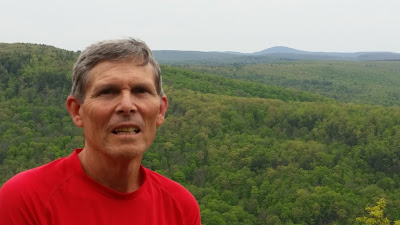
Wuzzam on top of Negus, with Greylock in the background.
The route from Negus to Tunnel Road is crisscrossed and lined with awesome stone walls, worth viewing on their own merit.
We visited the graveyard on top of Tunnel Road, I have not been able to locate it's name. The long descent along Tunnel Road includes a magnificent section through Rowe Land Trust. The rock formations have to be seen to be believed.
Cemetery on top of Tunnel Road.
Rowe Land Trust Property, Nature Preserve.
Rowe Land Trust Property, Nature Preserve, really worth spending an afternoon at.
Once at the bottom, we crossed the single lane bridge, and ventured towards Reed Brook Preserve (A Nature Conservancy Property). Up Torrey Mountain Road to South County Road, and a quick bushwhack to get us to the Mahican-Mohawk Trail along the Clark-Todd Ridge.
Single Lane Bridge across the Deerfield River.
We were on time to extend the run, so we took the spur to "Indian Lookout" on Todd's Peak.
Lookout on Todd Mountain Peak.
After the jog back to the saddle, and four-way intersection, we descended north toward the Deerfield River, and enjoyed the Elder's Grove section of the trail.
Four way on top of the ridge.
The Elder's are the group of White Pine in the very middle of the picture below, as seen from Florida Bridge along River Road. Saheda is the White Pine to the far right of the group, with the flat top. We feel the power in these trees, several over 160' tall, with Saheda at 170'.
A look back at the Elder's Grove, Mohawk Trail State Forest.
Made it to our car in 4:07 total time, 12.5 gps miles.
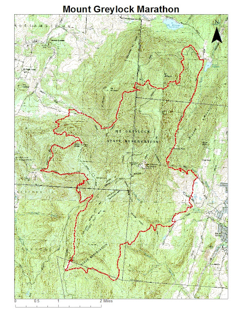
Additionally, on this day in 2005, I completed my 26th marathon (and Tippi's 2nd) at the Mount Greyklock Marathon '05 version {AKA Molitori 50th Birthday Bash & Annual Celibacy Run}. Total time of 6:47:02. Five out of twelve starters completed the full 26.2-miles.


