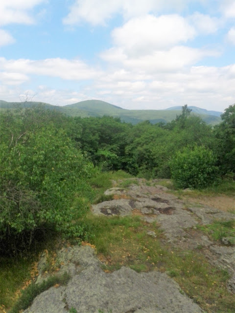
Rose early to water the garden, and hit the road early enough (driving by 8:10 a.m.) Out to Salisbury to run the Appalachian Trail from Route 41 (Undermountain Road I believe) to one of three destinations, depending how I, meaning my left calf and right hamstring, felt.
- The basic plan (hope) was to get to Lions Head, a one-way distance of roughly 2.7-miles (5.4 out-and-back) with a starting elevation of about 720', and a high point of 1700' on top of the Lion.
- If that felt decent, I hoped to get out to Riga Junction, where the Appalachian Trail is met by the Undermountain Trail, at something near 4.5-miles (roughly 9.0-miles round trip).
- Once at that success point, and still feeling like I had something in the tank, I would push on and up to the summit of Bear Mountain, elevation of 2320'. The low point between Lions Head and Bear looks to be near 1560', so climbing Bear would mean another decent effort. It would also be somewhere near 5.6-miles each way (the guide pamphlet had longer distances, I am giving my gps distances from today).
I really perspired through this effort today, but I had plenty of water / fuel, so that wasn't too big an issue. I made it to Bear Mountain just fine, and I felt decently strong the entire trip back as well, for a total of 11.1-miles at the end.
I covered the same route with the exception of bypassing Lions Head for the short alternative route on the way back. Temperature was mid 70's at the 9:30 a.m. start, and low 80's at the finish three-hours later.
Satisfying run, with only the steepest sections hiked/walked.
Summit Lions Head
Lions Head looking south
Lions Head looking north
Riga Junction
Climbing Bear Mountain, looking back south
Bear Mountain Summit
From the top of the rock pile on Bear, looking north
Another perspective north from Bear, Race and Everett ahead
Today's Map


