Resting up the calf/achilles injury, so DL and I drove out to Gran-Val Scoop in Granville, Massachusetts, for the 1st time this season.
Saturday, April 13, 2019
After looking over some old trails I'd run in April and May of 2009, I realized it's been too long without revisiting. Completed 7-miles in Conway State Forest and surrounding area, adding northern distance to the March 3rd run I completed.
I did recall the old mill site on Avery Brook, but not as detailed as it appeared today. I was able to spot and record junctions that would connect me with my Avery Brook run from 2016.
As far as getting from my end point to Cricket Hill Cemetery, and back into Conway State Forest, I hope to tie that up soon.
Snowmobile Signage
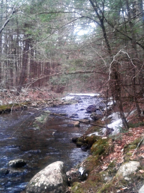
Avery Brook
Avery Brook Falls
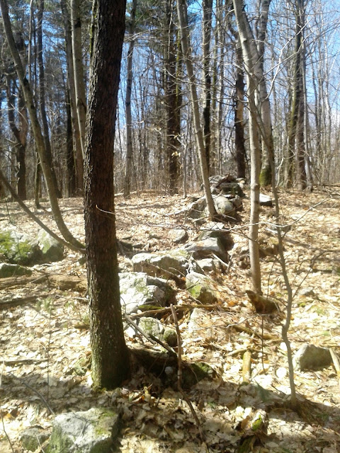
Stonewall and Moss Covered Limb
Stonewall
Stonewall and Mill Foundation
Mill Foundation
Mill Foundation using large rock
Foundation, ten or so feet tall
Stonework at Mill Site
Cricket Hill Cemetery
Combo Map
Thursday, April 11, 2019
Wednesday, April 10, 2019
Tuesday, April 9, 2019
Back to North Hollow, this time to run north up Ore Hill Trail / Road, and return through Granville State Forest' Hubbard River Trail.
Ore Hill, at this time of year, is discouraging. Totally rutted and mud filled, mostly by massive logging operations it appears. My route followed a prior gps track of mine from a few years ago, but the path is much wider now, and navigation through the mud isn't fun. I would say that in mid-summer, during a dry spell of weather, would realistically be the only time worthwhile on this.
The Hubbard River Trail is always worthy, on the positive side. Several falls and cascades, beautiful trail, and the sound of the river.
Knocked out 6.8-miles after physical therapy. Cold and damp, around 40-degrees and drizzling.
Monday, April 8, 2019
Sunday, April 7, 2019
After a morning of excellent progress regarding spring-cleaning, I ventured back to North Hollow to run along the west-side of Valley Brook. This would tie up the section from Friday, when I made it through the east-side. The water level is a bit high to cross without getting pretty soaked up to mid-calf, so a couple trips were in order.
All went very well, the route is just as I recalled. It's pretty open from logging, so early morning or later in the afternoon would work best.
4.4-miles for the day, with the North Hollow to the Black Bear Crossing measuring 2.2-miles one-way. At least that is how I remember it (I changed up the return a bit).
Black Bear Crossing
Looking Downstream, Valley Brook, at Black Bear Crossing
Old Foundation along the trail
Two Day Combo, April 5th & 7th
Saturday, April 6, 2019
Williamsburg, Massachusetts to explore the marathon route I targeted last year, from Unquomonk over past Petticoat Hill. Rounded out with 7.6-miles, which included two small spurs that were errors, as well as a 1-mile or so bushwhack after Old Wolf Hill.
I did make my way back to Unquomonk, although it looks like I was a bit lower than that official "Big View" trails. I did ramble downhill alongside a beautiful brook for a bit, which would be worth re-visiting.
I have better bearings for this area after today's exploration. The route from the Gun Club to the Gas Pipeline seems cemented in my head.
Beautiful day in the fifties, with wonderful sunny sky.
Unquomonk Reservoir Area
Old Path / Gas-Pipeline, usually a "beaver marsh"
Stacked Stones as Trailmarker
Bench "Welcoming" Visitors
Brook Crossing in Hemlock Grove
Stonewall at Old Wolf Hill
Perched Boulder
Perched Boulder
Stonewall leading Downhill
Stonewall leading Uphill
Friday, April 5, 2019
I wanted to check the trail conditions along the Tunxis Trails in East Hartland, CT. While out that way, I thought it would be a wonderful idea to verify the Hurricane Brook Connector to Valley Brook was still "in play". The last visit exposed a heavy logging presence, and I wanted to see if the route was still something I could follow.
Winter looks about over, there were patches of some ice but nothing too bad. One more week and it should be totally melted. The route is still present, it looks as though the logging may have moved to the other side of Route 20. In a couple years, the wide-open spots that were clear-cut may begin to grow in a bit, but for now there are a few hundred yards of exposed area.
All went well, totaled 5.3-miles for the day.
Hurricane Brook Road Signage
Valley Brook at the Black Bear Crossing
Hurricane Brook at Route 20
Thursday, April 4, 2019
Wednesday, April 3, 2019
Subscribe to:
Comments (Atom)


