Saturday, May 18, 2019

It was going to be a fantastic day to be outdoors, and I needed a long-run.  I also have been thinking about the Granville State Forest to Satan's Kingdom Marathon route I figured out a couple years ago (or so).  I figured this would be an ideal day to verify distance of the first leg, which runs from Granville State Forest in Granville, Massachusetts to the Route 20 crossing on the Tunxis Trail in Hartland, Connecticut.

Section 01 would be from the Granville Forest parking area following the Hubbard River Trail down to North Hollow on Route 20 for 2.9-miles.  This is a very scenic section, especially along the dozens of cascades on the Hubbard River.  The section is basically downhill as well, so a nice lead in to a long day.

Section 02 carried me around the Valley Brook section, with a reverse of direction at Black Bear Crossing, total distance of 3.6-miles for this section, and a total distance of 6.5-miles.  When I first explored this area, the path's were just old, soft dirt roads with grass growing in the center and edges.  The last 15 or so years has been rough due to logging operations, and much stone has been placed on the old dirt.  The canopy is missing as well, so the sun leaks through easily, so early morning is the best time of day (or later just before night).

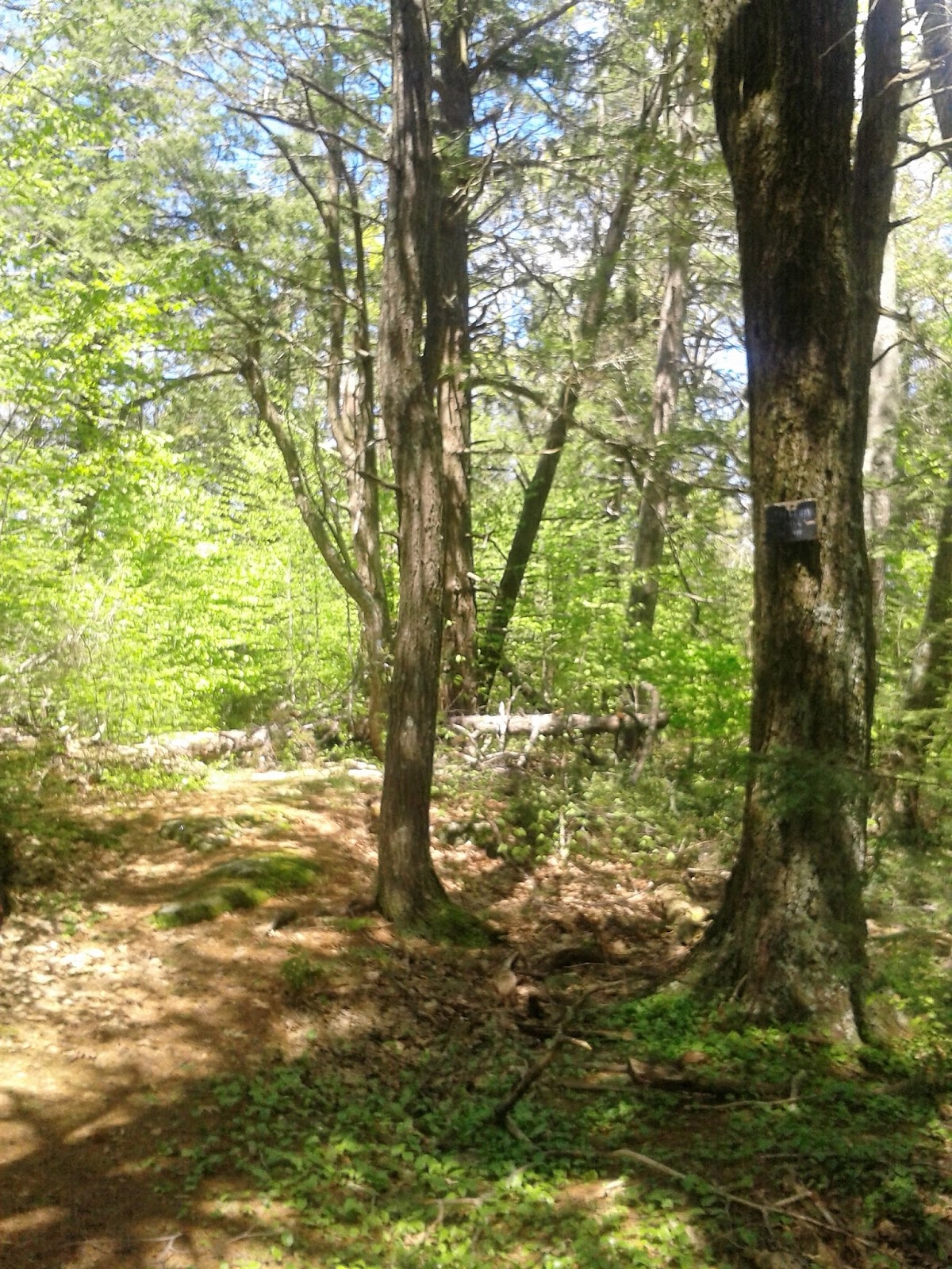
Section 03 is a climb up the old jeep trail turned into logging area running just north of Hurricane Brook, meeting up with the Tunxis Trail at the lean-to shelter, and continuing to Hurricane Brook Road before the Trillum Hill climb.  1.2-miles for this slow section, with a total for the day of 7.7-miles.

Section 04, and my last of the day for the marathon route, is the major climb along the Tunxis up to Trillum Hill and then down to Route 20, a 1.3-mile section with half of it being steep, slow, uphill.  The stop at Route 20 checked right at 9.0-miles - same as my old notes mentioned.

From here I took the jeep-path around the State Garage, to Hurricane Brook Road, and followed all the way back down to Route 20 again.  This was on dirt and paved (believe it or not) forest road for almost 2-miles.  Hurricane Brook has many wonderful cascades as well, not as "big" as Hubbard Brook, but really nice as well.  This section is nicely shaded, and pretty much all downhill.

There is one area along Hurricane Brook with a small waterfall/cascade and a nice swimming hole below it.  In the old days, Liddy, Tippi and Sam enjoyed cooling off within that wonderment.

Out to Route 20, ran along the shoulder for just under a mile to get me back to North Hollow parking area at 11.71-miles, and all that was left was the 3-miles back up along the Hubbard River Trail.  Ended it up with 14.7-miles in 3:08 (4.7 mph average).  A very satisfying run.

Monument to Milo B, Coe

Black Bear Crossing at Valley Brook

Feeder Stream to Hurricane Brook on the Tunxis Trail

Feeder Stream to Hurricane Brook on the Tunxis Trail

Trillum Hill, Tunxis Trail

Gorge on Hurricane Brook

Cascade on Hubbard River

Cascade on Hubbard River


Friday, May 17, 2019

Bounced around Holcomb Farm Trails in the rain at mid-day.  3.1-miles.


On the shelf

Perched Boulder at Picnic Table

Carpenter Falls

Above Carpenter Falls

View off Peak south of Diamond Ledge

Diamond Ledge


Thursday, May 16, 2019

Walk along Plymouth Beach with DL.


Wednesday, May 15, 2019

Later today DL and I are driving out to North Reading for dinner, and then navigating to Plymouth for an overnight stay and a lunch on Thursday.  Something we are looking forward to, and a nice trip to catch two family members on our circuit.

This morning, I met up with Wuzzam to run the Simon's Skyline Loop for the 1st time this season.  It was wet, but not as bad as I thought it would be.  Between Skyline and Minnechoag there has been even more logging, and the route is easy to follow but I suspect it exist a bit lower on the ridge than it once did.  I can compare tracks at some point.

We completed the 7.7-miles (7.8 today as we swayed a bit here and there) in roughly 2:10.  That is the same time we ran on last years first attempt.  It was really good to complete the loop, all the climbs, and see the sun actually come out for most of it.

Kneeling Tree

Wuzzam at the Kneeling Tree

Top of 880'

View east off 880'

View south off 880' - Pine Mtn next up for climbing

Wuzzam cresting Pine Mtn

Wuzzam at the Upper Junction


Tuesday, May 14, 2019

Continuing on the New England Trail (aka Metacomet Trail), this time from Old Holyoke Road in Westfield (I believe), just off Route 20, out to the turn-around spot from yesterday at Snake Peak.

I totaled 6.2-miles for the day, pretty enjoyable on a rocky, rugged route.  There are several nice lookouts, two old fire-towers still standing, and many side-trails if exploring was on someone's mind.

As my thought's drifted today, it became apparent that I've traveled the New England Trail (Metacomet) from Heublein Tower in Simsbury, at my southernmost effort, to Bay Road in Belchertown, just after the Holyoke Notch sections.  I am actually missing from north of the Westfield River to my starting point today, however.

First Fire-Tower of the day

View off an open peak

Second Fire-Tower of the day

Another View, Fire-Tower

Moss, Stone, and Flowers

Arriving at Snake Peak

Looking north from Snake Peak, Mt Tom in distance

Another view of Mt Tom in distance

Gravel Road for Communications Tower, Mystery Peak to the south


Monday, May 13, 2019

More connections of the circled-world today, along the New England Trail (Metacomet/Monadnock).  I wanted to park at Route 10/202 but I didn't see a designated parking area, and most of the shoulder was noticed "No Parking".

I drove into Holyoke Community College and found a grounds maintenance worker to ask "trail" directions from.  That was a success.

It was a fairly easy climb up the hill to rejoin the Metacomet at a point I ran through on May 4th.  Followed back down to Apremont Street where I turned around that day, and continued past McLean Reservoir out to Snake Peak.

The route remains nice, and I plan on continuing south.  I ended with 6.4-miles, which was a bit less than I had planned but I had lost about 30 or so minutes trying to find a place to park and begin.

Before driving home, I captured two Roadside Memorials located a mile or so apart on Route 202.  God Bless.

View south from Peak

View west from Peak

View north from Snake Peak

North-End of McLean Reservoir

Trail-Head at Holyoke Community College

Roadside Memorial, west of McLean Reservoir, Route 202

Roadside Memorial, east of McLean Reservoir, Route 202


Sunday, May 12, 2019

Visited my Mom for Mother's Day, which was awesome.  Took a long way back to Connecticut, along Route 2 (the Mohawk Trail) and stopped off at Native Views (once known as The Big Indian Shop) in Charlemont / Shelbourne Falls.


Saturday, May 11, 2019

It was time for a Northern Nipmuck 16-mile adventure.  There was a race on this section of the Nipmuck from 2000 to 2012, or so,  I believe.  Prior to the race, it was a common "fun-run" event for many years.

During those years where a true event took place, I participated four-times.  Two of the runs were pretty good, 2:34:43 and 2:35:21, good for a 10th and 9th place respectively.  These were in 2004 and 2005 it looks like, honestly I don't remember the years but I do recall some of the events during these races.

Today, Wuzzam was up for a try at 16-tough miles with me.  I compounded the difficulty by suggestion that we attempt to average 4-mph along the way, so a 4-hour time limit.  This 16-mile run doesn't have massive climbs within it, but a good majority is difficult footing as well as constant up and down.

I hung on, managing 3:52 for a gps measured 15.93-miles.  That got me a 4.1-mph average.  Pretty far removed from 2:35, but if training can remain consistent for me, something around 3-hours by the fall may not be impossible.

As a bonus, I ran into "the Cemetery Man" hiking within the forest, a real blast from the past.

Wuzzam navigating one of many small stream crossings

A "somewhat" rock-free section of trail

Looking off Big Ledge

Above Boston Hollow


Friday, May 10, 2019

Black Lizard / Vintage Crime #12 for 2019.  Patricia Highsmith's 1955 intro into Tom Ripley, "The Talented Mr. Ripley".


Thursday, May 9, 2019

East Granby Farms up to the Metacomet Ridge for 4.1-miles.

Wednesday, May 8, 2019

Beautiful night to run along a ridge.  I ventured to Cowles Park, East Granby to ramble for 3.3-miles.