Drove out to Whately to pick up the snowmobile trail off Conway Road and head south towards Smith College's Ada and Archibald MacLeish Field Station.
The connection works really well, and the trails within the MacLeish property look fantastic, especially once we get rid of some of the wet weather and the ground can dry out some.
There are many additional trails in the area, snowmobile and old jeep trails. I plan on exploring throughout the summer, as this isn't a far drive time-wise.
The added bonus is this section allows for a connection to Conway State Forest near the Henhawk and Grass Hill areas at the bottom of the reservoir, as well as connector points further north near the Cricket Hill access point to Conway State Forest.
Completed this run at 7.1-miles, feeling fresh enough to stop along a seasonal waterfall on Conway Road to snap a few photographs, and further the exploration by heading to Mass Audubon's Graves Farm in Williamsburg.
Across from the parking area at Graves Farm, on the north side pasture, it looked like old topo maps show a trail heading in to meet up with Grass Hill Road. I have been wanting to reconnect this for many years, and my March run through Grass Hill refreshed my memory.
I managed to find the old path, ventured slightly off due to some logging and missing the old turn. After wandering a bunch, I re-entered on track and found my way back out, acknowledging where I had missed the turn. I should be "good to go" in the future to make the connection.
Added another 1.6-miles to my earlier mark, for a grand total of 8.7-miles for the day.

View southeast from MacLeish

There are beginnings of a very nice trail system in MacLeish

Beautiful Nolan Brook flowing past the Orange Trail

Stonewall is positioned "through" Nolan Brook at this point

Seasonal Waterfall off Conway Road


Also, on this day in 2006, I completed a Metacomet Marathon with my dog Tippi; it was just us. By 2005, most of my running turned toward exploring and mapping routes through the forest of Western Massachusetts and North Central Connecticut, with an emphasis on picking out ways to connect big tracks of land, and turn them into runs of marathon length.
Tips taking a look toward the quarry in West Suffield, Connecticut.

This run began in Sunrise Park, Suffeld, Connecticut and flowed south through Penwood State Forest in Bloomfield and Simsbury, Connecticut. We spent 6:27:00 completing a little over 28-miles or so. This was my 31st marathon completed, and Tippi's 7th.
Hueblin Tower in the distance; we would be turning around just prior to it.

Notes: A great day; started out 50 degrees at the 9:45 A.M. start time. I believe it reached 70 degrees during the day, with most of it in the mid to upper 60’s. Sunny and blue sky entire time, with a bit of a nice breeze every once and a while.
Tippi taking a look back off a ledge.

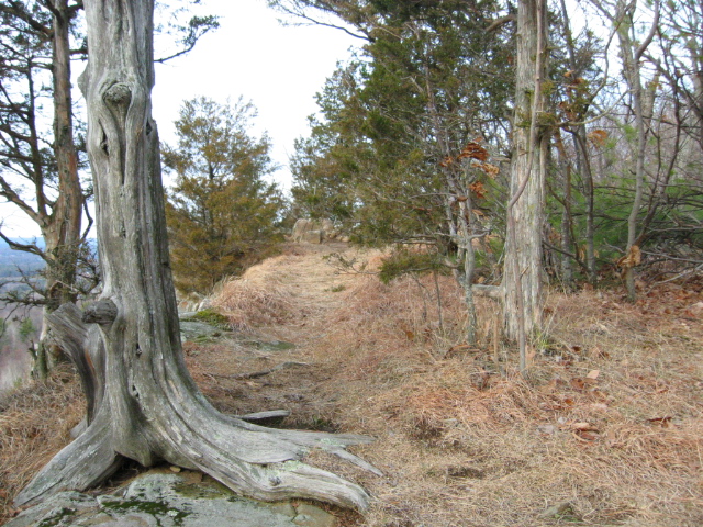
Much of the route is a ridge trail, with weather beaten trees still standing.
Tippi at the finish, ready to eat and rest.

The Route we managed in April of 2006.
