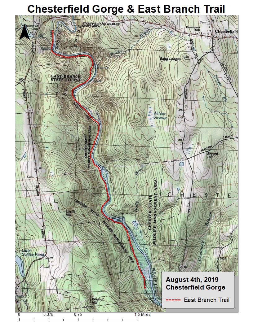
Drove out to Chesterfield Gorge to run along the Westfield River. It was a great idea after yesterday's climbs, the East Branch Trail does just what is named for, travels concurrent to the river on west side of the water. Yes, I believe I have this correct. East Branch must be this branch of the Westfield - not the side of the water the trail is on.
A bit of history, related to the photograph below mentioning the "bridge abutment"...
The “High Bridge” located at the Chesterfield Gorge entrance was built in the 1760’s. It served as the Boston to Albany Post Road and the path of retreat for the Redcoats after their defeat at the Battle of Saratoga during the Revolutionary War. Floodwaters have long since swept the bridge away. All that remains is the eastern abutment.
Minor ups and downs along the way for 9-miles of running, followed by 0.3-miles of hiking within The Trustee's of Reservations site.
TTOR Chesterfield Gorge site is adjacent to the Gilbert A. Bliss State Forest

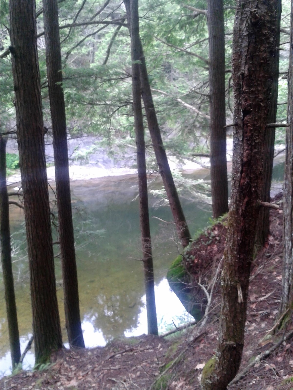
View of the Westfield downstream from the Gorge

View of the Westfield downstream from the Gorge
Marker (with miles designated) for the East Branch Trail

View of the Westfield with huge sheets of rock remaining from years of erosion

Within the Reservation, cut chasm

Within the Reservation, cut chasm

Within the Reservation, old bridge abutment still present