Out to Cornwall Bridge to tie up the Mohawk Trail to my "lost" point around Jewel Street from Sunday's run. The plan was to run from Route 4, up Dark Entry Road, and over Coltsfoot Mountain to the location of "losing" the path.
Dark Entry Road was a steep paved road, ended at about 0.7-miles from Route 4. Once into the woods, things improved and the trail was especially nice along Bonny Brook. There was zero water flowing down the stream, but at least two locations where a nice waterfall would exist if there was water flowing... I hope to revisit during the fall.
The section over Coltsfoot Mountain was really nice as well, but once descending there were many blow-downs, neglected trail, and some steepness that was a bit uncomfortable since it had precipitated yesterday and the humidity was making all surfaces slick.
Hitting the flat area around Jewel Street, the field was pretty grown in with waist high grass. This, combined with the sketchy trail maintenance on this section of trail, assisted me with a decision to just run down Route 4 back to my car. I was at 5.5-miles, and the going had been pretty slow... the climb and the slow descent back down along Bonney Brook just seemed unnecessary today. The road was a bit shorter and quicker, I ended the day at 8.5-miles.
There was signage for "Echo Rock", which I would have liked to enjoy, but I do not know what or where exactly it is.
There is also mention of the "Baldwin Caves" in this area as well, but that seems like a real mystery to people now-a-days. When this path was used as the Appalachian Trail, evidently there was a side-trail to the cave(s).
At the parking area on Route 4 - Dark Entry Road closed during "Halloween"

Dry Falls on Bonney Brook

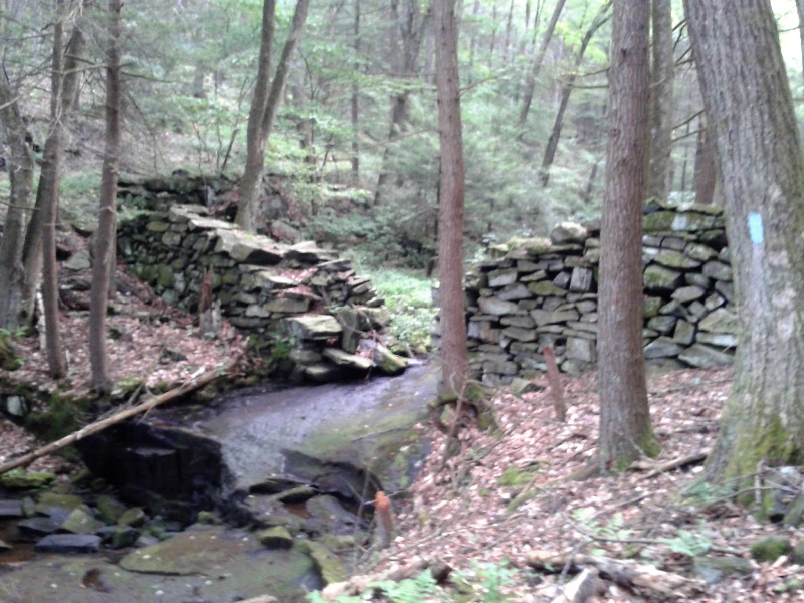
Old Mill evidence along Bonney Brook
View east off Coltsfoot Mountain

View from the flats

Coltsfoot Mountain

Today's Route

Composite from August 11th & 14th, 2019
